UN/LOCODE hub · Hungary
HUDVV

Devavanya

47.0333°, 20.9667°
8,796
Population
1
Transport functions

Transport Functions

Multimodal
UN/LOCODE

Hub Profile

Place type
Populated place
GeoNames
Region
Bekes County
GeoNames
Population
8,796
GeoNames
Time zone
Europe/Budapest
GeoNames
Elevation
83 m
GeoNames

Location

Location of HUDVV
Natural Earth 10m (public domain) · Bekes County · HUDVV · 47.03, 20.97GoogleOSMYandex

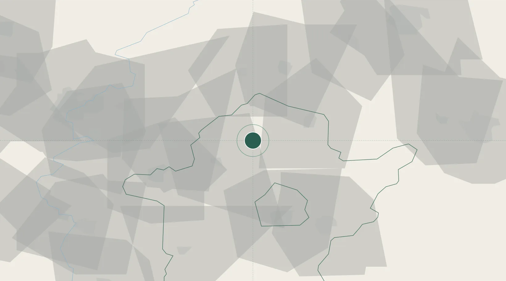
Nearby Logistics Neighbours

Cities
  1. 1Körösladány12 km
  2. 2Füzesgyarmat20 km
  3. 3Mezöberény24 km
  4. 4Karcag30 km
  5. 5Békés34 km
Nearest neighbours — logibook spatial index (haversine) over the source coordinates
Ports
  1. 1Senj521 km
  2. 2Dugi Rat522 km
  3. 3Ploce523 km
  4. 4Neum529 km
  5. 5Split529 km
Nearest neighbours — logibook spatial index (haversine) over the source coordinates
Airports
  1. 1Szolnok Air Base56 km
  2. 2Debrecen International Airport71 km
  3. 3Oradea International Airport71 km
  4. 4Kecskemét Air Base93 km
  5. 5Arad International Airport98 km
Nearest neighbours — logibook spatial index (haversine) over the source coordinates
Trade Zones
  1. 1Free Zone Curtici Arad80 km
  2. 2VGP Park Arad98 km
  3. 3VGP Park Timisoara139 km
  4. 4Subotica Free Zone147 km
  5. 5Göd Special Economic Zone153 km
Nearest neighbours — logibook spatial index (haversine) over the source coordinates
DatabookThe Record of Consolidated Knowledge
Hungary beyond logistics?
Browse databook

All Sources

LocationsUN/LOCODE
UN/LOCODE — free
LocationsGeoNames
CC BY 4.0
Portsthe NGA World Port Index
Public domain (US gov)
AirportsOurAirports
Public domain
Trade Zonesthe World Bank SEZ database
CC BY 4.0
Trade ZonesOpen Zone Map
CC BY
← Hungary locations