Transport Functions
Rail
Hub Profile
Place type
Provincial seat
Region
Bekes County
Population
21,198
Time zone
Europe/Budapest
Elevation
83 m
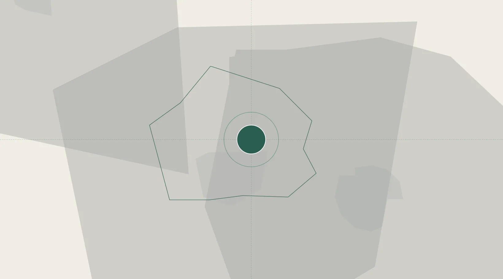
Location
Nearby Logistics Neighbours
Cities
- 1Mezöberény11 km
- 2Telekgerendás18 km
- 3Körösladány24 km
- 4Kötegyán27 km
- 5Devavanya34 km
Airports
- 1Arad International Airport65 km
- 2Oradea International Airport67 km
- 3Szolnok Air Base79 km
- 4Debrecen International Airport91 km
- 5Kecskemét Air Base106 km
Trade Zones
- 1Free Zone Curtici Arad46 km
- 2VGP Park Arad65 km
- 3VGP Park Timisoara107 km
- 4Subotica Free Zone136 km
- 5Zrenjanin Free Zone163 km
DatabookThe Record of Consolidated Knowledge
Hungary beyond logistics?