Transport Functions
Port
Road
Hub Profile
Place type
Populated place
Region
Csongrád
Time zone
Europe/Budapest
Elevation
79 m
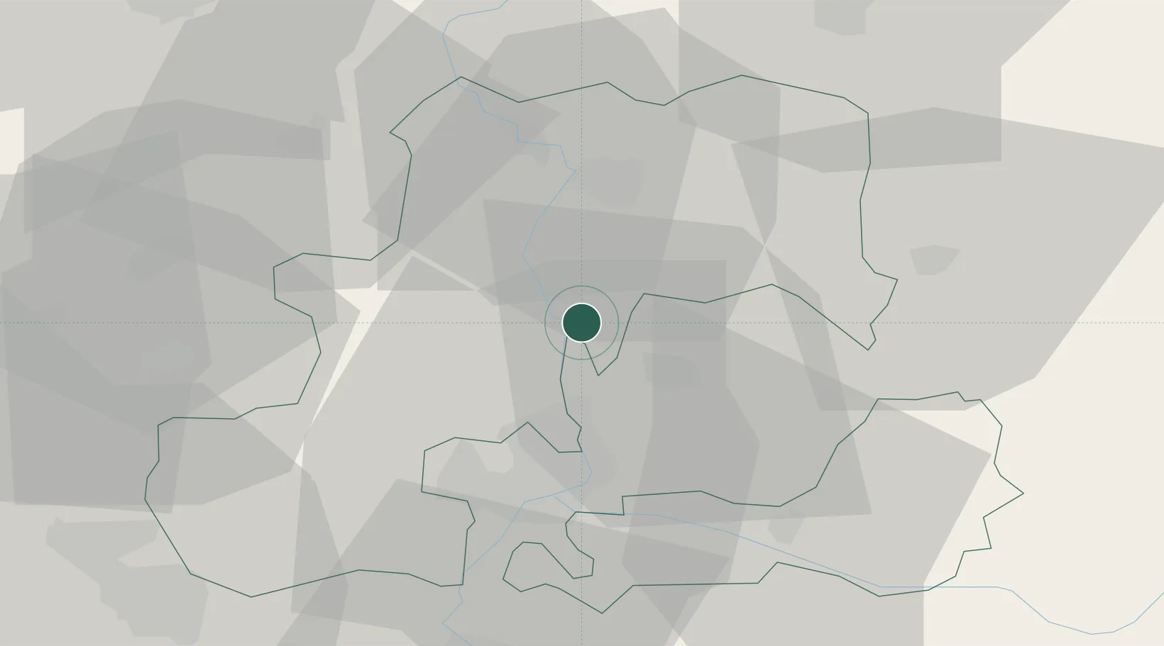
Location
Nearby Logistics Neighbours
Cities
- 1Hódmezovásárhely12 km
- 2Kistelek19 km
- 3Szatymaz20 km
- 4Zsombo25 km
- 5Szeged26 km
Airports
Trade Zones
- 1Subotica Free Zone63 km
- 2Free Zone Curtici Arad83 km
- 3VGP Park Arad86 km
- 4VGP Park Timisoara107 km
- 5Zrenjanin Free Zone124 km
DatabookThe Record of Consolidated Knowledge
Hungary beyond logistics?