UN/LOCODE hub · Hungary
HUHDM
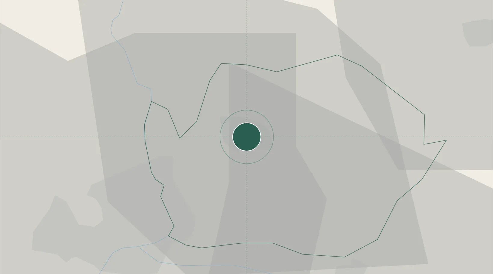
Hódmezovásárhely
46.4167°, 20.3333°
44,009
Population
2
Transport functions
Transport Functions
Rail
Road
Hub Profile
Place type
Populated place
Region
Csongrád
Population
44,009
Time zone
Europe/Budapest
Elevation
80 m
Location
Nearby Logistics Neighbours
Airports
- 1Kecskemét Air Base71 km
- 2Arad International Airport76 km
- 3Szolnok Air Base79 km
- 4Timișoara Traian Vuia International Airport103 km
- 5Kalocsa-Foktő Airfield108 km
Trade Zones
- 1Subotica Free Zone66 km
- 2Free Zone Curtici Arad73 km
- 3VGP Park Arad74 km
- 4VGP Park Timisoara95 km
- 5Zrenjanin Free Zone116 km
DatabookThe Record of Consolidated Knowledge
Hungary beyond logistics?