Transport Functions
Rail
Road
Hub Profile
Place type
Provincial seat
Region
Csongrád
Population
7,430
Time zone
Europe/Budapest
Elevation
88 m
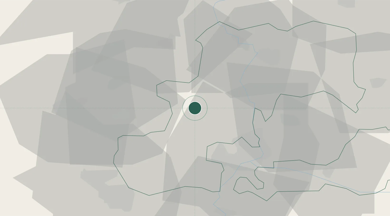
Location
Nearby Logistics Neighbours
Cities
- 1Szatymaz15 km
- 2Zsombo15 km
- 3Pálmonostora19 km
- 4Mártély19 km
- 5Szeged24 km
Airports
- 1Kecskemét Air Base53 km
- 2Szolnok Air Base76 km
- 3Kalocsa-Foktő Airfield79 km
- 4Arad International Airport105 km
- 5Budapest Liszt Ferenc International Airport120 km
Trade Zones
- 1Subotica Free Zone50 km
- 2Free Zone Curtici Arad102 km
- 3VGP Park Arad103 km
- 4Apatin Free Zone117 km
- 5VGP Park Timisoara120 km
DatabookThe Record of Consolidated Knowledge
Hungary beyond logistics?