Transport Functions
Multimodal
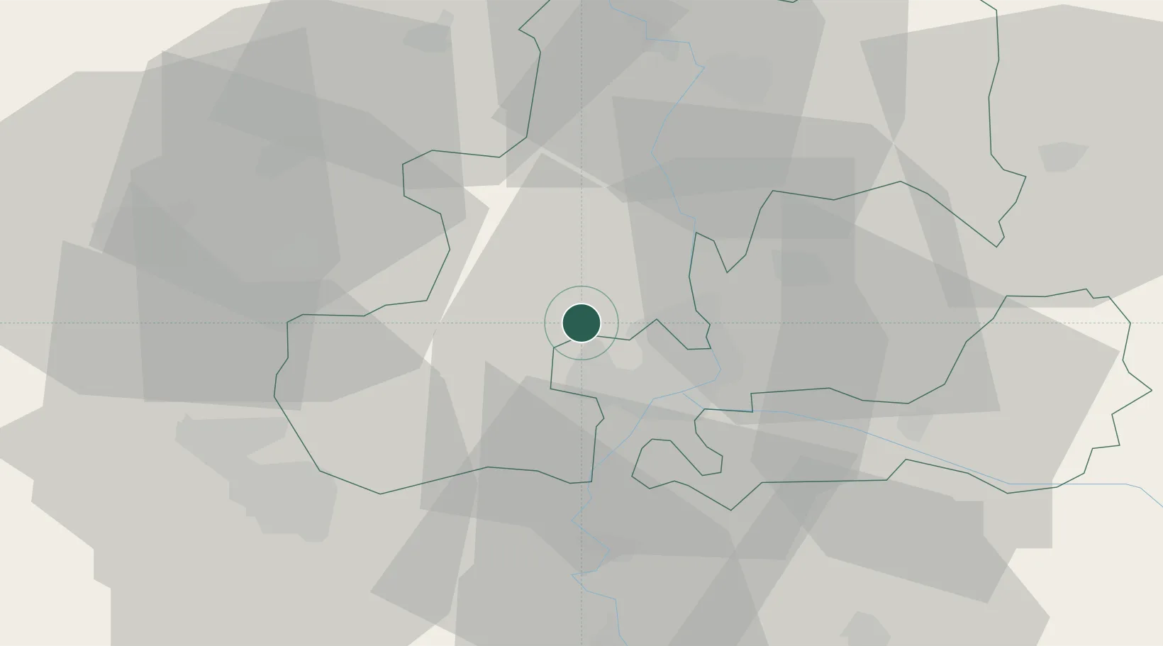
Hub Profile
Place type
Populated place
Region
Csongrád
Population
4,187
Time zone
Europe/Budapest
Elevation
84 m
Location
Nearby Logistics Neighbours
Airports
Trade Zones
- 1Subotica Free Zone44 km
- 2VGP Park Arad93 km
- 3Free Zone Curtici Arad95 km
- 4VGP Park Timisoara107 km
- 5Zrenjanin Free Zone112 km
DatabookThe Record of Consolidated Knowledge
Hungary beyond logistics?