Transport Functions
Rail
Road
Hub Profile
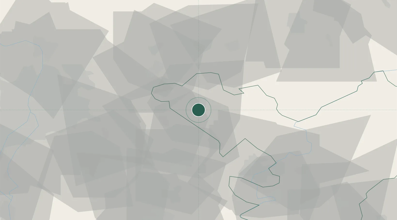
Place type
Provincial seat
Region
Jász-Nagykun-Szolnok
Population
27,439
Time zone
Europe/Budapest
Elevation
96 m
Location
Nearby Logistics Neighbours
Cities
- 1Pusztamonostor11 km
- 2Szentlorinckáta12 km
- 3Alattyán13 km
- 4Farmos14 km
- 5Nagykata15 km
Ports
- 1Senj474 km
- 2Bakar478 km
- 3Omisalj482 km
- 4Rijeka Luka482 km
- 5Dugi Rat515 km
Airports
- 1Szolnok Air Base47 km
- 2Budapest Liszt Ferenc International Airport48 km
- 3Kecskemét Air Base64 km
- 4Tököl Airport71 km
- 5Kalocsa-Foktő Airfield127 km
Trade Zones
- 1Göd Special Economic Zone59 km
- 2Subotica Free Zone158 km
- 3Free Zone Curtici Arad164 km
- 4VGP Park Arad177 km
- 5VGP Park Timisoara212 km
DatabookThe Record of Consolidated Knowledge
Hungary beyond logistics?