Channel & Berth Profile
Pilotage, Tugs & Services
Pilotage compulsoryYES
Pilotage availableYES
Tug assistanceYES
Salvage tugsYES
Shore powerYES
Potable waterYES
Diesel bunkersYES
MedicalYES
Facilities & Capabilities
Container—
Ro-Ro—
Liquid bulk—
Dry bulk—
Oil terminal—
Break bulk—
Dry dock—
Repairs—
BunkeringYES
Rail link—
Dangerous cargo—
ISPS security—
Harbour Specifications
Harbour size
Small
Harbour type
Coastal (Natural)
Shelter
Fair
Water body
Adriatic Sea; Mediterranean Sea; North Atlantic Ocean
Overhead limit
No
Pilotage
Yes
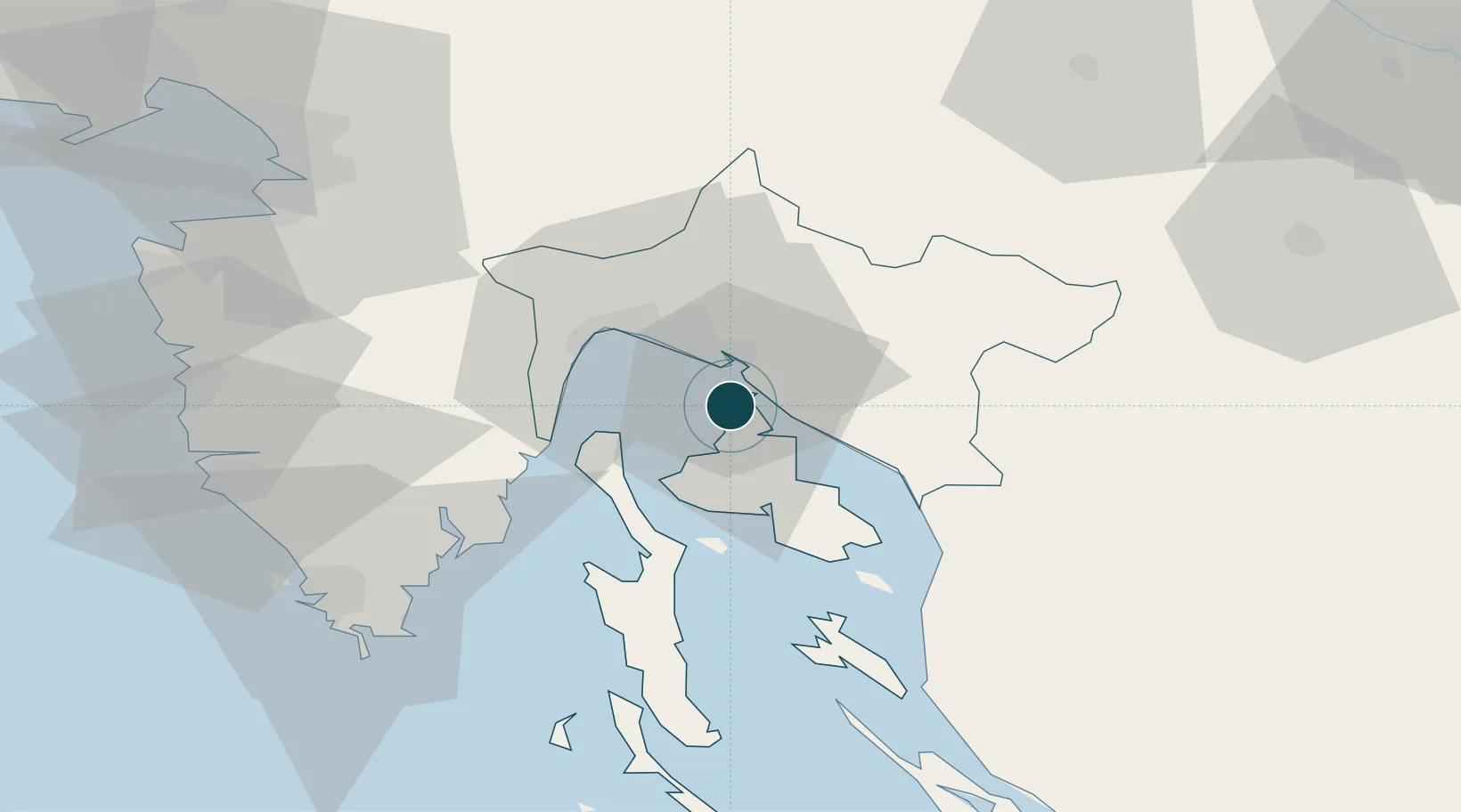
Location
Nearby Logistics Neighbours
Ports
- 1Bakar9 km
- 2Rijeka Luka16 km
- 3Senj38 km
- 4Zaliv Rasa42 km
- 5Pula70 km
Cities
- 1Kraljevica6 km
- 2Bakar10 km
- 3Klimno10 km
- 4Kostrena10 km
- 5Krasica11 km
Airports
- 1Rijeka Airport2 km
- 2Pula Airport61 km
- 3Portorož Airport78 km
- 4Cerklje ob Krki Air Base108 km
- 5Trieste Airport108 km
Trade Zones
- 1Free Zone Kukuljanovo14 km
- 2Port of Rijeka Free Zone23 km
- 3Port of Pula Free Zone69 km
- 4Free Port of Trieste78 km
- 5PJ Free Zone Zagreb122 km
DatabookThe Record of Consolidated Knowledge
Croatia beyond logistics?