Large airport · Hungary
Budapest Liszt Ferenc International AirportLHBP
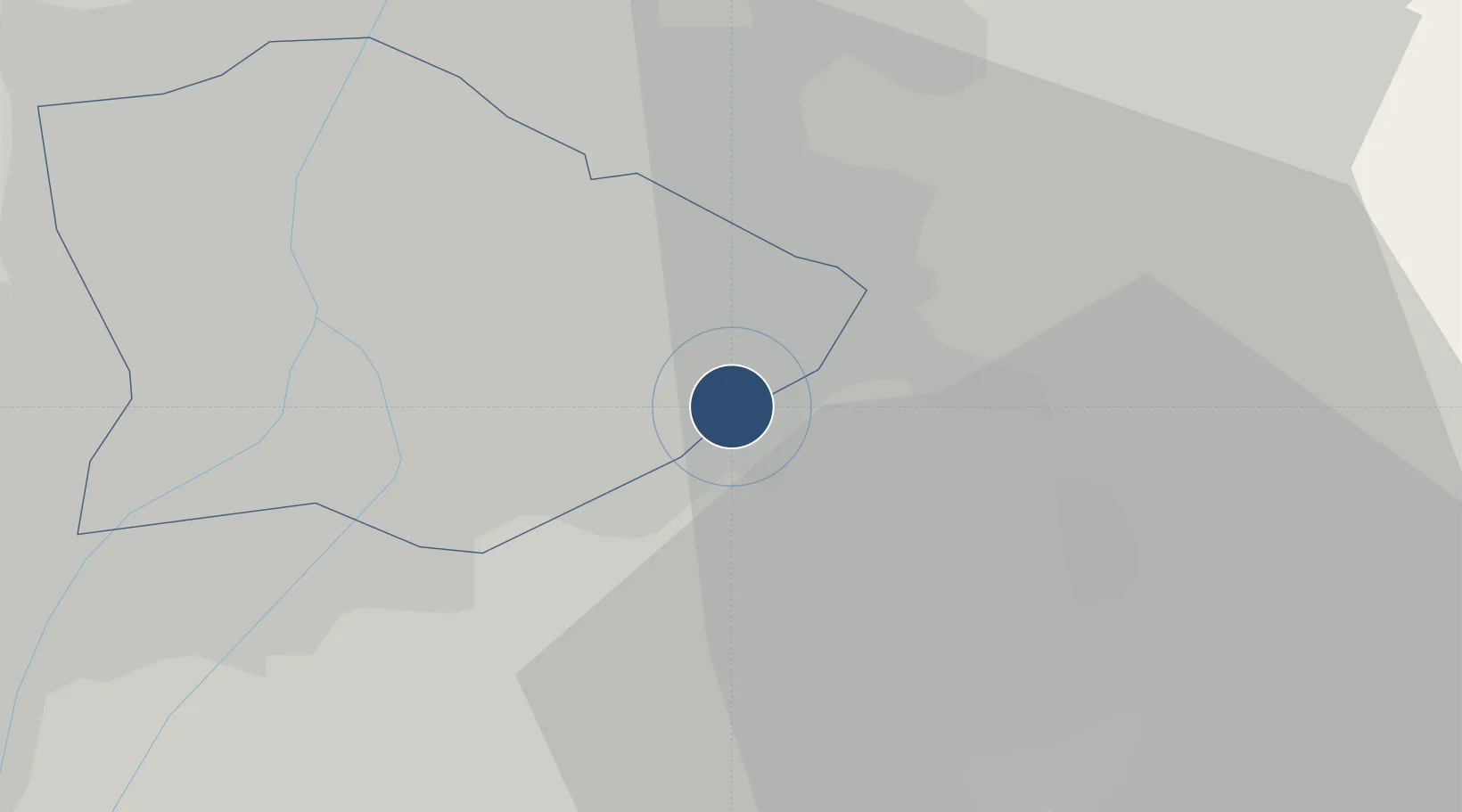
47.4302°, 19.2624°
12,162 ft
Longest runway
2
Runways
495 ft
Elevation
Runway & Layout

Radio Frequencies
ATIS
132.375 MHz
TWR
118.1 MHz
GND
121.9 MHz
APP
119.5 MHz
DIRECTOR
ACC
129.7 MHz
BUDAPEST APP
APRS
122.45 MHz
Apron Guide South
APRW
131.55 MHz
Apron Guide West
CDC
134.55 MHz
Delivery
Navaids
BUD VOR-DME Budapest 117.30 MHz
MNR VOR-DME Monor 112.50 MHz
MNR NDB Monor 288 kHz
TPS VOR-DME Tapiosap 115.90 MHz
TPS NDB Tapiosap 306 kHz
Runways · 2
| Runway | Dimensions | Surface | True heading | Lit |
|---|---|---|---|---|
| 13L/31R | 12,162 × 148ft | Concrete | 132° | ✓ |
| 13R/31L | 9,875 × 148ft | Concrete | 132° | ✓ |
Airport Specifications
IATA code
BUD
ICAO code
LHBP
Airport class
Large airport
Scheduled service
Yes
Runway surface
Concrete
Served city
Budapest
Location
Nearby Logistics Neighbours
Airports
- 1Tököl Airport23 km
- 2Kecskemét Air Base68 km
- 3Szolnok Air Base81 km
- 4Kalocsa-Foktő Airfield101 km
- 5Győr-Pér Airport112 km
Cities
- 1Vecsés4 km
- 2Gyál7 km
- 3Maglod8 km
- 4Üllo8 km
- 5Felsopakony9 km
Ports
- 1Senj432 km
- 2Bakar433 km
- 3Omisalj438 km
- 4Rijeka Luka438 km
- 5Zaliv Rasa479 km
Trade Zones
- 1Göd Special Economic Zone29 km
- 2Subotica Free Zone153 km
- 3Free Zone Curtici Arad195 km
- 4Apatin Free Zone196 km
- 5VGP Park Arad205 km
DatabookThe Record of Consolidated Knowledge
Hungary beyond logistics?