UN/LOCODE hub · Hungary
HUSNA
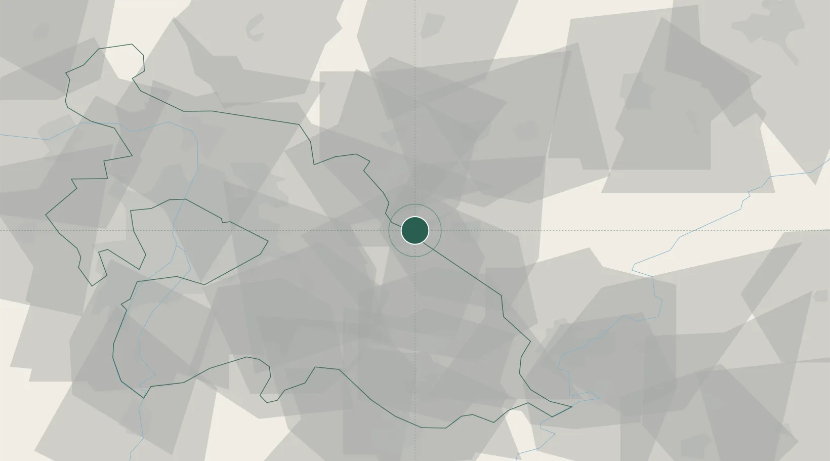
Szentlorinckáta
47.5167°, 19.7500°
2,005
Population
3
Transport functions
Transport Functions
Rail
Road
Multimodal
Hub Profile
Place type
Populated place
Region
Pest County
Population
2,005
Time zone
Europe/Budapest
Elevation
106 m
Location
Nearby Logistics Neighbours
Cities
- 1Pusztamonostor5 km
- 2Jászfényszaru6 km
- 3Nagykata11 km
- 4Jászberény12 km
- 5Farmos18 km
Ports
- 1Senj467 km
- 2Bakar470 km
- 3Omisalj474 km
- 4Rijeka Luka474 km
- 5Dugi Rat513 km
Airports
- 1Budapest Liszt Ferenc International Airport38 km
- 2Szolnok Air Base57 km
- 3Tököl Airport61 km
- 4Kecskemét Air Base67 km
- 5Kalocsa-Foktő Airfield124 km
Trade Zones
- 1Göd Special Economic Zone47 km
- 2Subotica Free Zone160 km
- 3Free Zone Curtici Arad174 km
- 4VGP Park Arad187 km
- 5Apatin Free Zone213 km
DatabookThe Record of Consolidated Knowledge
Hungary beyond logistics?