Transport Functions
Road
Multimodal
Hub Profile
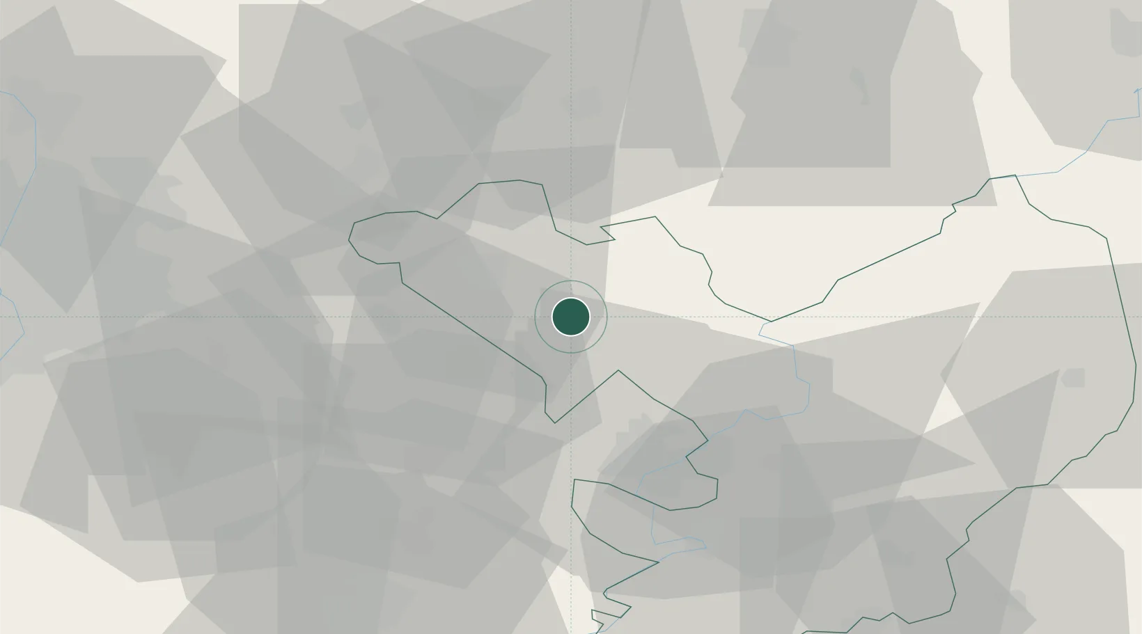
Place type
Populated place
Region
Jász-Nagykun-Szolnok
Population
2,004
Time zone
Europe/Budapest
Elevation
89 m
Location
Nearby Logistics Neighbours
Cities
- 1Jászapáti11 km
- 2Jászberény13 km
- 3Tapioszele17 km
- 4Farmos17 km
- 5Pusztamonostor23 km
Ports
- 1Senj481 km
- 2Bakar485 km
- 3Omisalj489 km
- 4Rijeka Luka490 km
- 5Dugi Rat516 km
Airports
- 1Szolnok Air Base37 km
- 2Budapest Liszt Ferenc International Airport59 km
- 3Kecskemét Air Base62 km
- 4Tököl Airport81 km
- 5Debrecen International Airport118 km
Trade Zones
- 1Göd Special Economic Zone72 km
- 2Free Zone Curtici Arad153 km
- 3Subotica Free Zone154 km
- 4VGP Park Arad167 km
- 5Customs Free Zone Zahony190 km
DatabookThe Record of Consolidated Knowledge
Hungary beyond logistics?