Transport Functions
Multimodal
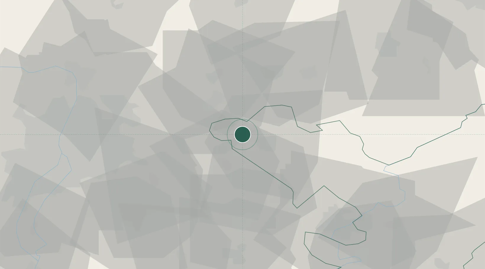
Hub Profile
Place type
Populated place
Region
Jász-Nagykun-Szolnok
Time zone
Europe/Budapest
Elevation
106 m
Location
Nearby Logistics Neighbours
Cities
- 1Szentlorinckáta5 km
- 2Jászfényszaru7 km
- 3Jászberény11 km
- 4Jászárokszállás16 km
- 5Nagykata16 km
Ports
- 1Senj472 km
- 2Bakar475 km
- 3Omisalj479 km
- 4Rijeka Luka479 km
- 5Dugi Rat518 km
Airports
- 1Budapest Liszt Ferenc International Airport43 km
- 2Szolnok Air Base58 km
- 3Tököl Airport66 km
- 4Kecskemét Air Base70 km
- 5Kalocsa-Foktő Airfield129 km
Trade Zones
- 1Göd Special Economic Zone50 km
- 2Subotica Free Zone164 km
- 3Free Zone Curtici Arad175 km
- 4VGP Park Arad188 km
- 5Apatin Free Zone218 km
DatabookThe Record of Consolidated Knowledge
Hungary beyond logistics?