Transport Functions
Multimodal
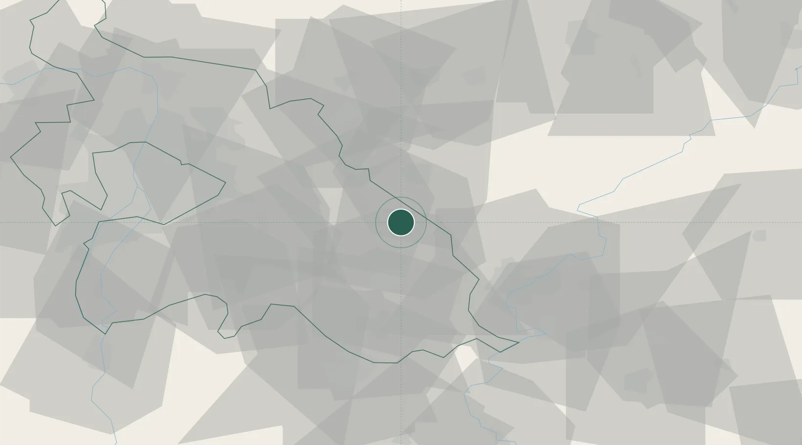
Hub Profile
Place type
Populated place
Region
Pest County
Population
3,793
Time zone
Europe/Budapest
Elevation
99 m
Location
Nearby Logistics Neighbours
Cities
- 1Tapioszele5 km
- 2Nagykata10 km
- 3Jászberény14 km
- 4Alattyán17 km
- 5Szentlorinckáta18 km
Ports
- 1Senj464 km
- 2Bakar468 km
- 3Omisalj472 km
- 4Rijeka Luka473 km
- 5Dugi Rat502 km
Airports
- 1Szolnok Air Base40 km
- 2Budapest Liszt Ferenc International Airport45 km
- 3Kecskemét Air Base51 km
- 4Tököl Airport66 km
- 5Kalocsa-Foktő Airfield114 km
Trade Zones
- 1Göd Special Economic Zone62 km
- 2Subotica Free Zone144 km
- 3Free Zone Curtici Arad157 km
- 4VGP Park Arad169 km
- 5Apatin Free Zone199 km
DatabookThe Record of Consolidated Knowledge
Hungary beyond logistics?