Transport Functions
Multimodal
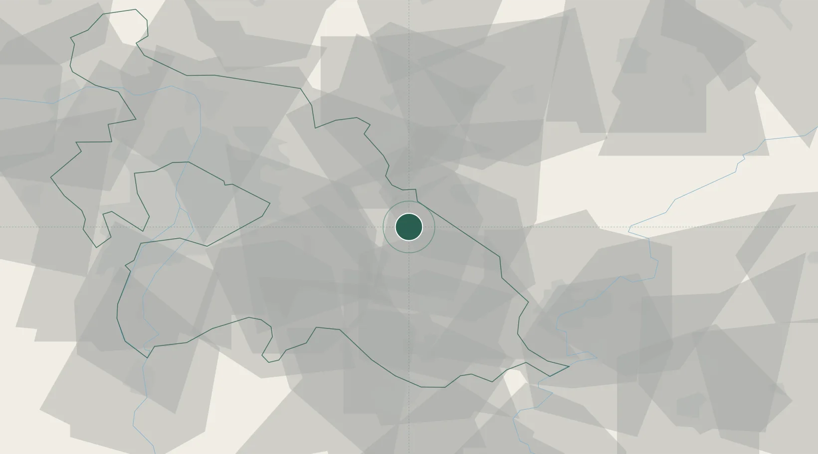
Hub Profile
Place type
Provincial seat
Region
Pest County
Population
13,322
Time zone
Europe/Budapest
Elevation
112 m
Location
Nearby Logistics Neighbours
Cities
- 1Farmos10 km
- 2Szentlorinckáta11 km
- 3Jászberény15 km
- 4Tapioszele15 km
- 5Pusztamonostor16 km
Ports
- 1Senj460 km
- 2Bakar463 km
- 3Omisalj467 km
- 4Rijeka Luka468 km
- 5Dugi Rat502 km
Airports
- 1Budapest Liszt Ferenc International Airport36 km
- 2Szolnok Air Base50 km
- 3Kecskemét Air Base56 km
- 4Tököl Airport57 km
- 5Kalocsa-Foktő Airfield113 km
Trade Zones
- 1Göd Special Economic Zone52 km
- 2Subotica Free Zone149 km
- 3Free Zone Curtici Arad167 km
- 4VGP Park Arad179 km
- 5Apatin Free Zone202 km
DatabookThe Record of Consolidated Knowledge
Hungary beyond logistics?