Transport Functions
Multimodal
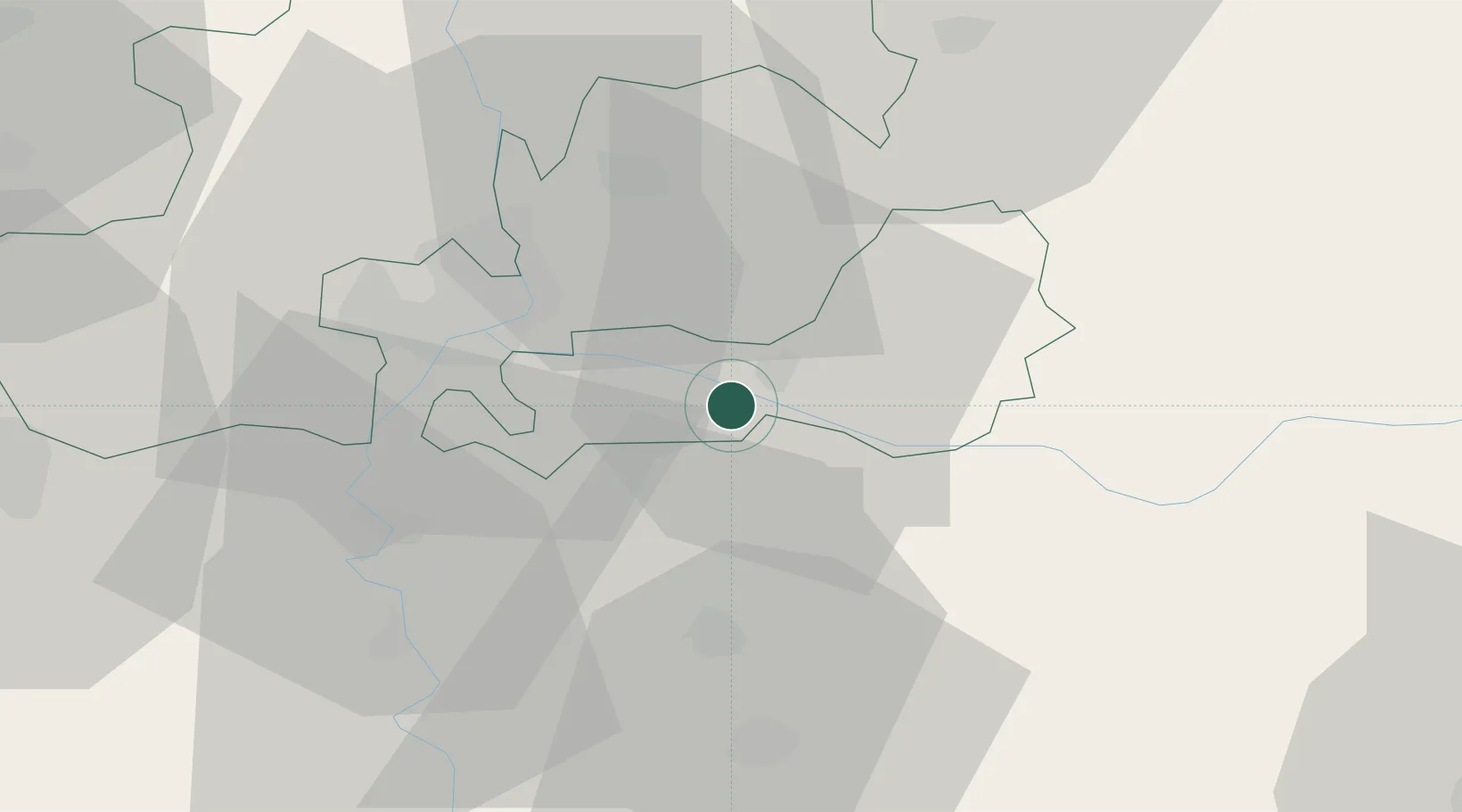
Hub Profile
Place type
Populated place
Region
Csongrád
Population
4,131
Time zone
Europe/Budapest
Elevation
79 m
Location
Nearby Logistics Neighbours
Cities
- 1Hódmezovásárhely27 km
- 2Szeged28 km
- 3Röszke31 km
- 4Szatymaz35 km
- 5Mártély37 km
Airports
- 1Arad International Airport64 km
- 2Timișoara Traian Vuia International Airport81 km
- 3Kecskemét Air Base97 km
- 4Szolnok Air Base106 km
- 5Kalocsa-Foktő Airfield122 km
Trade Zones
- 1VGP Park Arad62 km
- 2Subotica Free Zone63 km
- 3Free Zone Curtici Arad68 km
- 4VGP Park Timisoara72 km
- 5Zrenjanin Free Zone90 km
DatabookThe Record of Consolidated Knowledge
Hungary beyond logistics?