Transport Functions
Port
Rail
Road
Hub Profile
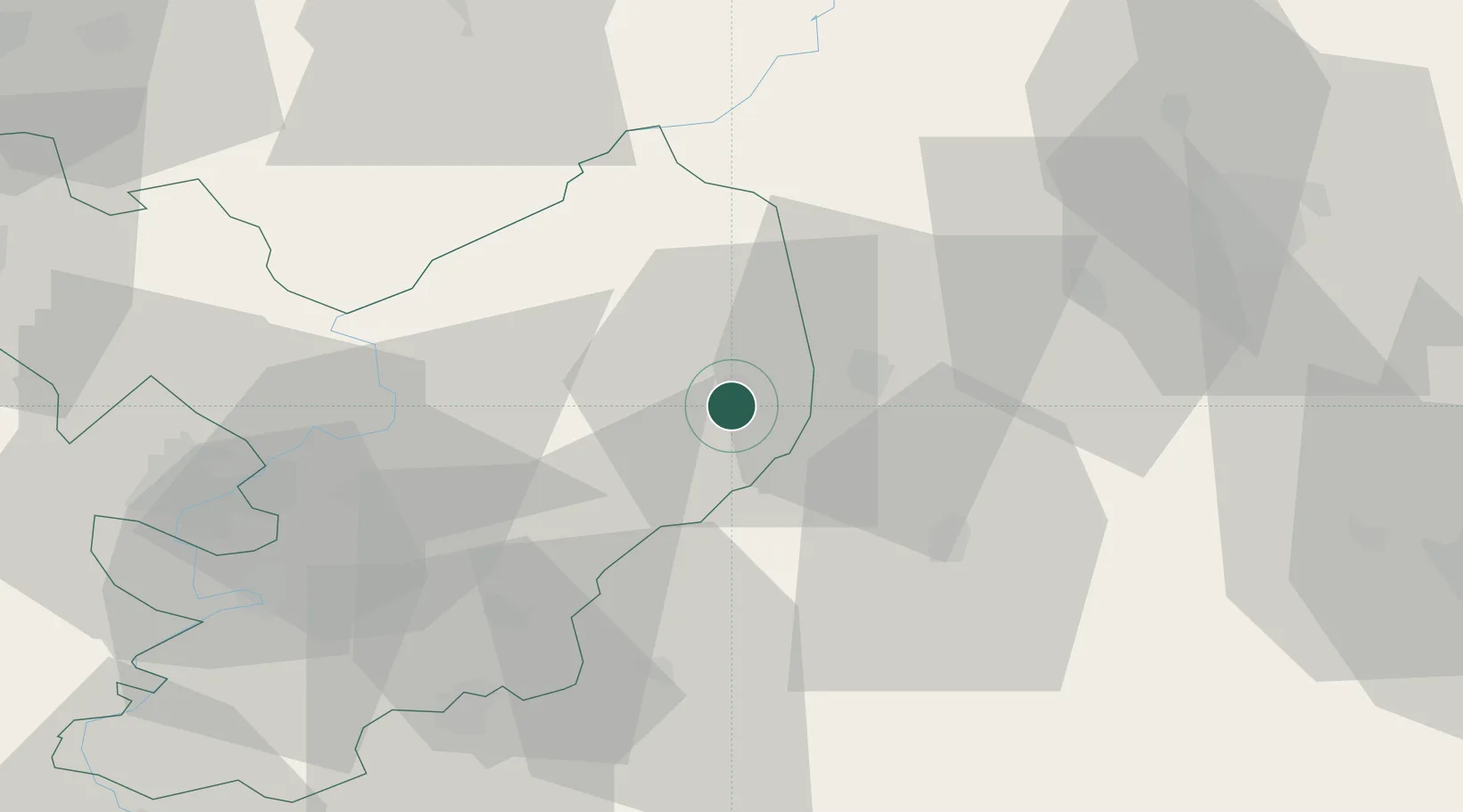
Place type
Provincial seat
Region
Jász-Nagykun-Szolnok
Population
22,370
Time zone
Europe/Budapest
Elevation
85 m
Location
Nearby Logistics Neighbours
Cities
- 1Kunmadaras16 km
- 2Kunhegyes23 km
- 3Nádudvar23 km
- 4Barand24 km
- 5Kaba28 km
Ports
- 1Senj530 km
- 2Bakar538 km
- 3Omisalj541 km
- 4Dugi Rat542 km
- 5Rijeka Luka544 km
Airports
Trade Zones
- 1Free Zone Curtici Arad109 km
- 2VGP Park Arad127 km
- 3Göd Special Economic Zone138 km
- 4Customs Free Zone Zahony153 km
- 5Subotica Free Zone167 km
DatabookThe Record of Consolidated Knowledge
Hungary beyond logistics?