Transport Functions
Rail
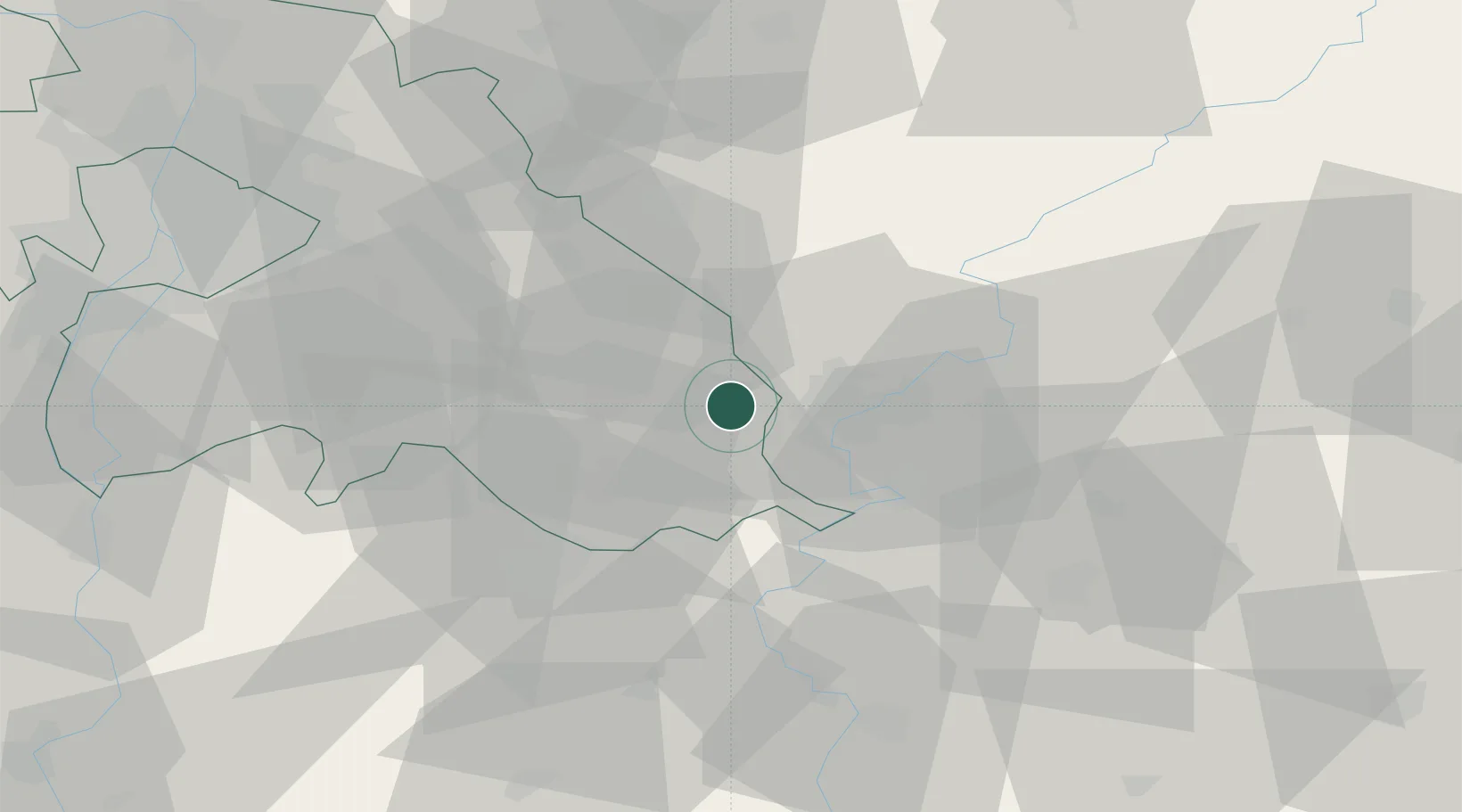
Hub Profile
Place type
Populated place
Region
Pest County
Population
16,342
Time zone
Europe/Budapest
Elevation
91 m
Location
Nearby Logistics Neighbours
Cities
- 1Tapioszele19 km
- 2Kocsér22 km
- 3Farmos23 km
- 4Csemo24 km
- 5Alattyán28 km
Ports
- 1Senj463 km
- 2Bakar470 km
- 3Omisalj473 km
- 4Rijeka Luka475 km
- 5Dugi Rat491 km
Airports
- 1Szolnok Air Base19 km
- 2Kecskemét Air Base35 km
- 3Budapest Liszt Ferenc International Airport62 km
- 4Tököl Airport79 km
- 5Kalocsa-Foktő Airfield107 km
Trade Zones
- 1Göd Special Economic Zone83 km
- 2Subotica Free Zone126 km
- 3Free Zone Curtici Arad135 km
- 4VGP Park Arad147 km
- 5VGP Park Timisoara179 km
DatabookThe Record of Consolidated Knowledge
Hungary beyond logistics?