Transport Functions
Multimodal
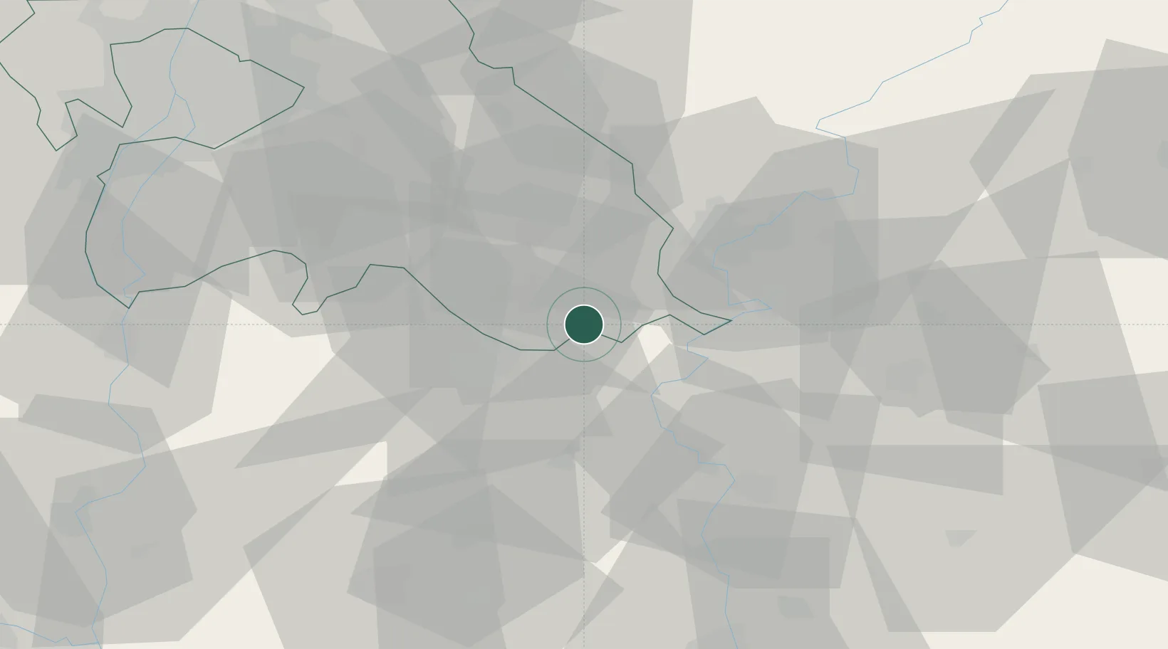
Hub Profile
Place type
Populated place
Region
Pest County
Population
2,096
Time zone
Europe/Budapest
Elevation
100 m
Location
Nearby Logistics Neighbours
Cities
- 1Tiszakécske17 km
- 2Csemo20 km
- 3Abony22 km
- 4Kunszallas28 km
- 5Bokros30 km
Ports
- 1Senj447 km
- 2Bakar454 km
- 3Omisalj458 km
- 4Rijeka Luka460 km
- 5Dugi Rat470 km
Airports
- 1Kecskemét Air Base15 km
- 2Szolnok Air Base29 km
- 3Budapest Liszt Ferenc International Airport68 km
- 4Tököl Airport79 km
- 5Kalocsa-Foktő Airfield88 km
Trade Zones
- 1Göd Special Economic Zone94 km
- 2Subotica Free Zone105 km
- 3Free Zone Curtici Arad128 km
- 4VGP Park Arad137 km
- 5Apatin Free Zone163 km
DatabookThe Record of Consolidated Knowledge
Hungary beyond logistics?