Transport Functions
Multimodal
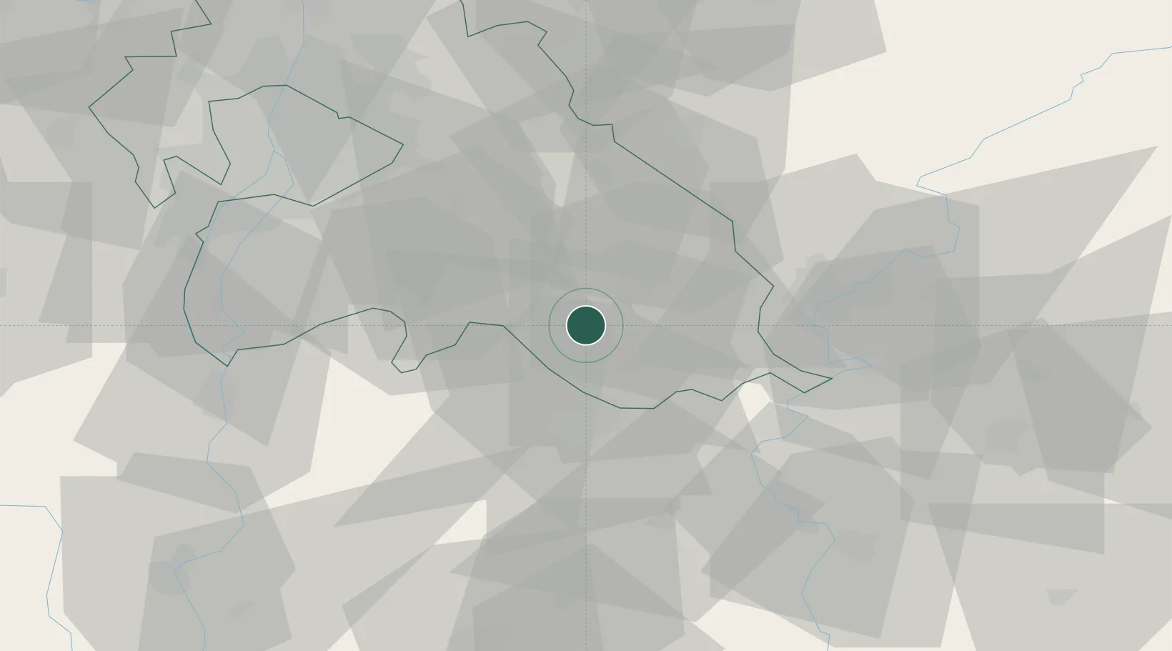
Hub Profile
Place type
Populated place
Region
Pest County
Population
4,411
Time zone
Europe/Budapest
Elevation
130 m
Location
Nearby Logistics Neighbours
Cities
- 1Albertirsa15 km
- 2Kocsér20 km
- 3Oerkeny21 km
- 4Abony24 km
- 5Újhartyán26 km
Ports
- 1Senj440 km
- 2Bakar446 km
- 3Omisalj449 km
- 4Rijeka Luka451 km
- 5Dugi Rat472 km
Airports
- 1Kecskemét Air Base23 km
- 2Szolnok Air Base41 km
- 3Budapest Liszt Ferenc International Airport48 km
- 4Tököl Airport60 km
- 5Kalocsa-Foktő Airfield85 km
Trade Zones
- 1Göd Special Economic Zone74 km
- 2Subotica Free Zone116 km
- 3Free Zone Curtici Arad148 km
- 4VGP Park Arad157 km
- 5Apatin Free Zone169 km
DatabookThe Record of Consolidated Knowledge
Hungary beyond logistics?