Transport Functions
Multimodal
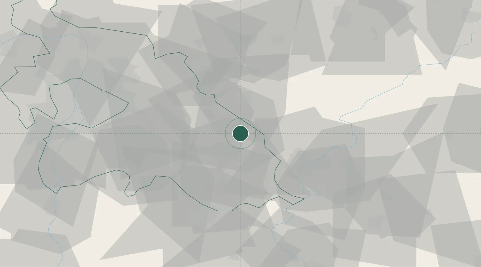
Hub Profile
Place type
Populated place
Region
Pest County
Population
6,214
Time zone
Europe/Budapest
Elevation
98 m
Location
Nearby Logistics Neighbours
Cities
- 1Farmos5 km
- 2Nagykata15 km
- 3Jászberény17 km
- 4Alattyán17 km
- 5Abony19 km
Ports
- 1Senj464 km
- 2Bakar469 km
- 3Omisalj473 km
- 4Rijeka Luka474 km
- 5Dugi Rat500 km
Airports
- 1Szolnok Air Base35 km
- 2Kecskemét Air Base47 km
- 3Budapest Liszt Ferenc International Airport48 km
- 4Tököl Airport68 km
- 5Kalocsa-Foktő Airfield113 km
Trade Zones
- 1Göd Special Economic Zone66 km
- 2Subotica Free Zone141 km
- 3Free Zone Curtici Arad153 km
- 4VGP Park Arad165 km
- 5Apatin Free Zone197 km
DatabookThe Record of Consolidated Knowledge
Hungary beyond logistics?