Transport Functions
Port
Road
Hub Profile
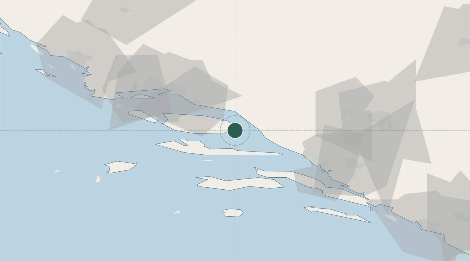
Place type
Populated place
Region
Split-Dalmatia
Population
477
Time zone
Europe/Zagreb
Elevation
25 m
Location
Nearby Logistics Neighbours
Airports
- 1Brač Airport17 km
- 2Split Saint Jerome Airport55 km
- 3Mostar International Airport78 km
- 4Sarajevo International Airport131 km
- 5Dubrovnik Ruđer Bošković Airport138 km
Trade Zones
- 1Split-Dalmatia Free Zone43 km
- 2Port of Split Free Zone45 km
- 3Port of Ploče Free Zone52 km
- 4Free Zone Hercegovina75 km
- 5Free Zone Visoko130 km
DatabookThe Record of Consolidated Knowledge
Croatia beyond logistics?