Transport Functions
Port
Road
Hub Profile
Place type
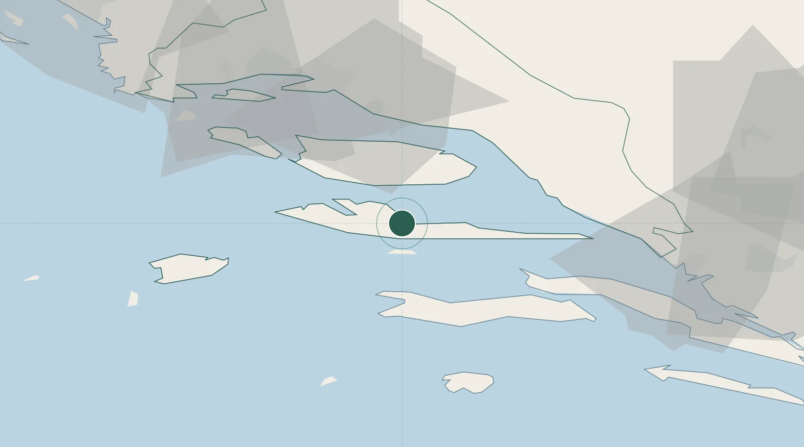
Provincial seat
Region
Split-Dalmatia
Population
1,753
Time zone
Europe/Zagreb
Elevation
2 m
Location
Nearby Logistics Neighbours
Cities
- 1Vrboska2 km
- 2Stari Grad8 km
- 3Bol12 km
- 4Sumartin20 km
- 5Hvar22 km
Airports
- 1Brač Airport13 km
- 2Split Saint Jerome Airport53 km
- 3Mostar International Airport94 km
- 4Dubrovnik Ruđer Bošković Airport144 km
- 5Eliporto Peschici149 km
Trade Zones
- 1Split-Dalmatia Free Zone44 km
- 2Port of Split Free Zone45 km
- 3Port of Ploče Free Zone61 km
- 4Free Zone Hercegovina91 km
- 5Free Zone Visoko150 km
DatabookThe Record of Consolidated Knowledge
Croatia beyond logistics?