Transport Functions
Port
Road
Hub Profile
Place type
Provincial seat
Region
Split-Dalmatia
Population
1,656
Time zone
Europe/Zagreb
Elevation
9 m
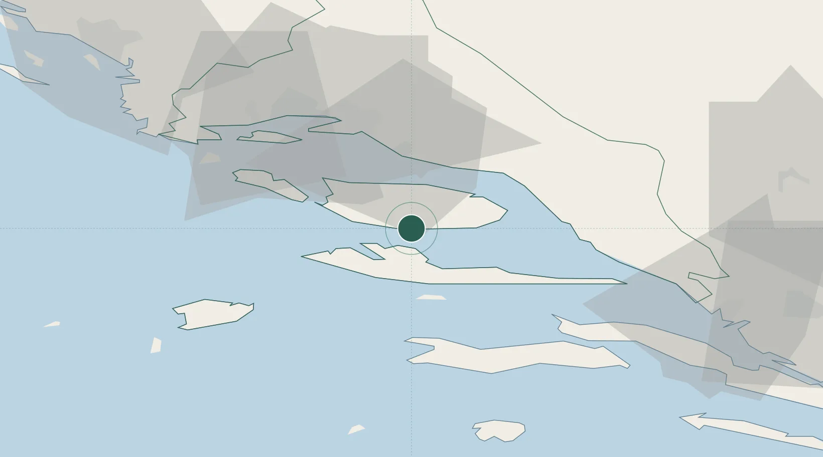
Location
Nearby Logistics Neighbours
Cities
- 1Vrboska10 km
- 2Stari Grad10 km
- 3Splitska12 km
- 4Jelsa12 km
- 5Pucisca14 km
Airports
- 1Brač Airport3 km
- 2Split Saint Jerome Airport42 km
- 3Mostar International Airport97 km
- 4Zadar Airport139 km
- 5Sarajevo International Airport149 km
Trade Zones
- 1Split-Dalmatia Free Zone32 km
- 2Port of Split Free Zone33 km
- 3Port of Ploče Free Zone68 km
- 4Free Zone Hercegovina94 km
- 5Free Zone Visoko147 km
DatabookThe Record of Consolidated Knowledge
Croatia beyond logistics?