Transport Functions
Port
Road
Hub Profile
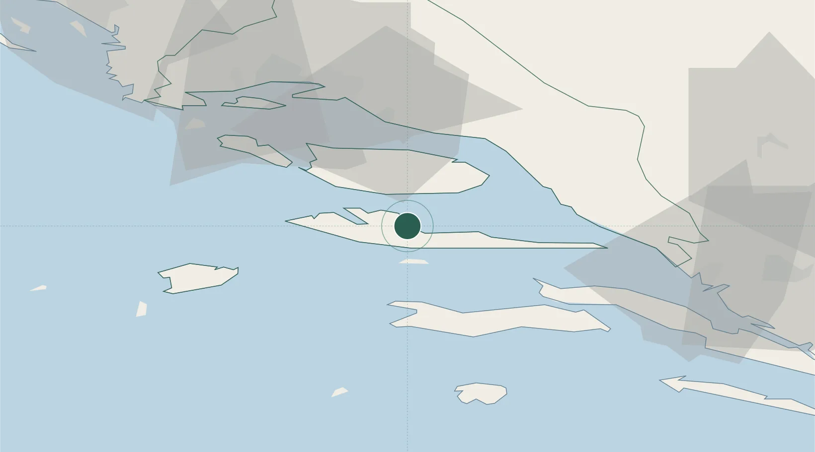
Place type
Populated place
Region
Split-Dalmatia
Population
542
Time zone
Europe/Zagreb
Elevation
5 m
Location
Nearby Logistics Neighbours
Cities
- 1Jelsa2 km
- 2Stari Grad7 km
- 3Bol10 km
- 4Sumartin20 km
- 5Hvar20 km
Airports
- 1Brač Airport11 km
- 2Split Saint Jerome Airport50 km
- 3Mostar International Airport95 km
- 4Dubrovnik Ruđer Bošković Airport146 km
- 5Zadar Airport148 km
Trade Zones
- 1Split-Dalmatia Free Zone42 km
- 2Port of Split Free Zone42 km
- 3Port of Ploče Free Zone63 km
- 4Free Zone Hercegovina92 km
- 5Free Zone Visoko150 km
DatabookThe Record of Consolidated Knowledge
Croatia beyond logistics?