Transport Functions
Port
Road
Hub Profile
Place type
Provincial seat
Region
Split-Dalmatia
Population
12,809
Time zone
Europe/Zagreb
Elevation
3 m
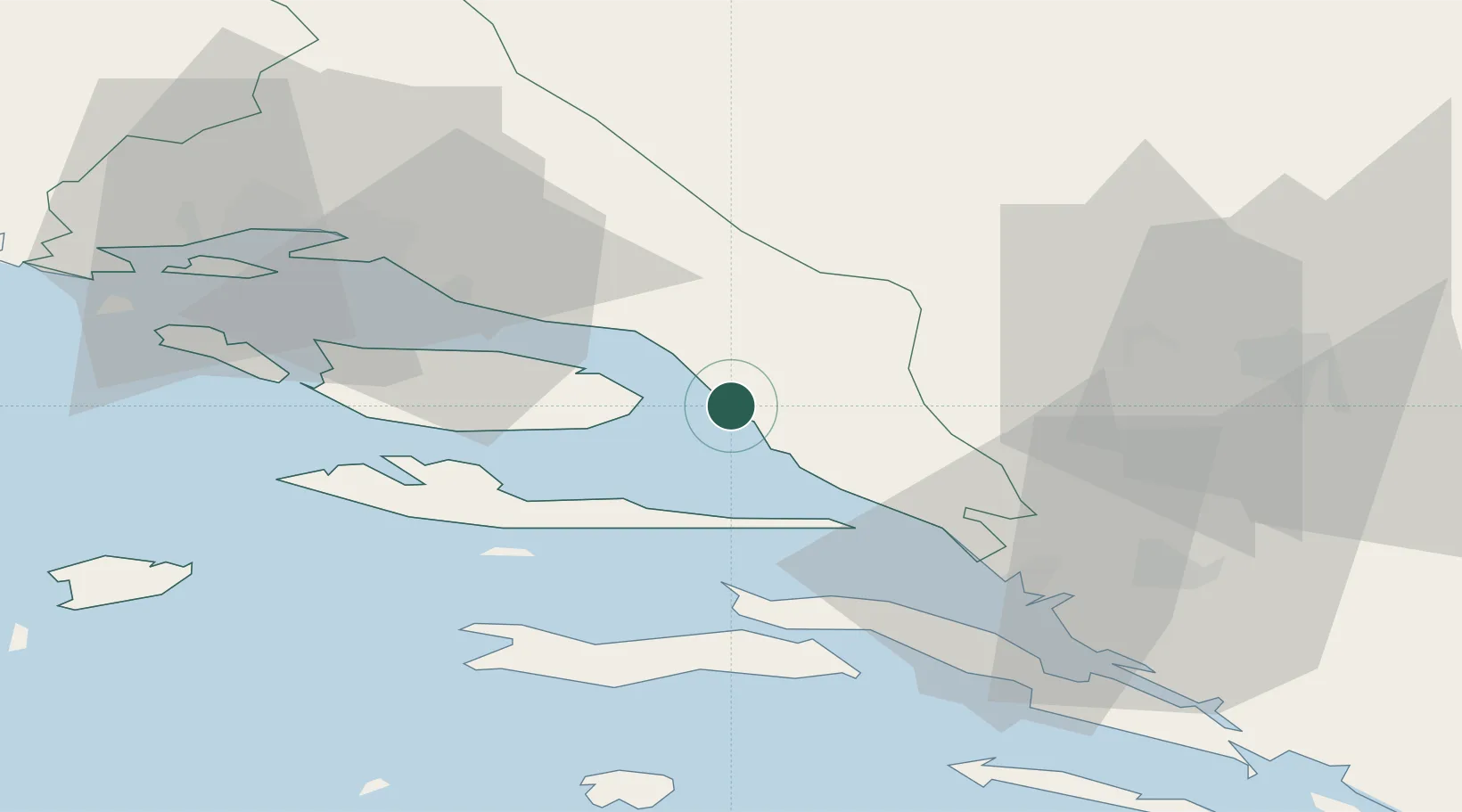
Location
Nearby Logistics Neighbours
Airports
- 1Brač Airport27 km
- 2Split Saint Jerome Airport64 km
- 3Mostar International Airport67 km
- 4Sarajevo International Airport121 km
- 5Dubrovnik Ruđer Bošković Airport131 km
Trade Zones
- 1Port of Ploče Free Zone44 km
- 2Split-Dalmatia Free Zone51 km
- 3Port of Split Free Zone54 km
- 4Free Zone Hercegovina64 km
- 5Free Zone Visoko121 km
DatabookThe Record of Consolidated Knowledge
Croatia beyond logistics?