Transport Functions
Port
Road
Hub Profile
Place type
Provincial seat
Region
Split-Dalmatia
Population
293
Time zone
Europe/Zagreb
Elevation
4 m
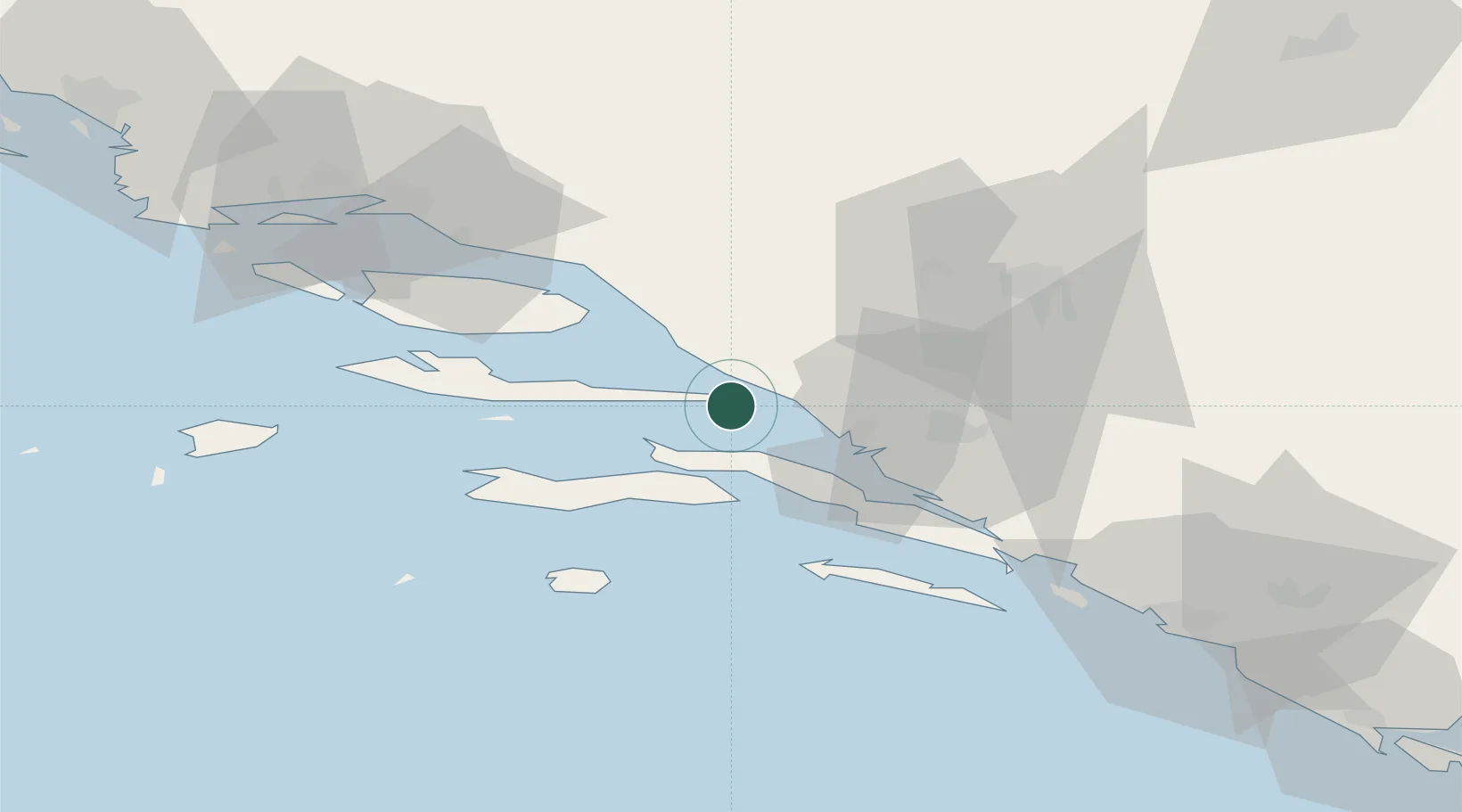
Location
Nearby Logistics Neighbours
Airports
- 1Brač Airport45 km
- 2Mostar International Airport57 km
- 3Split Saint Jerome Airport86 km
- 4Dubrovnik Ruđer Bošković Airport108 km
- 5Sarajevo International Airport122 km
Trade Zones
- 1Port of Ploče Free Zone22 km
- 2Free Zone Hercegovina55 km
- 3Split-Dalmatia Free Zone74 km
- 4Port of Split Free Zone76 km
- 5Free Zone Visoko126 km
DatabookThe Record of Consolidated Knowledge
Croatia beyond logistics?