Runway & Layout

Airport Specifications
Airport class
Heliport
Scheduled service
Yes
Served city
Peschici
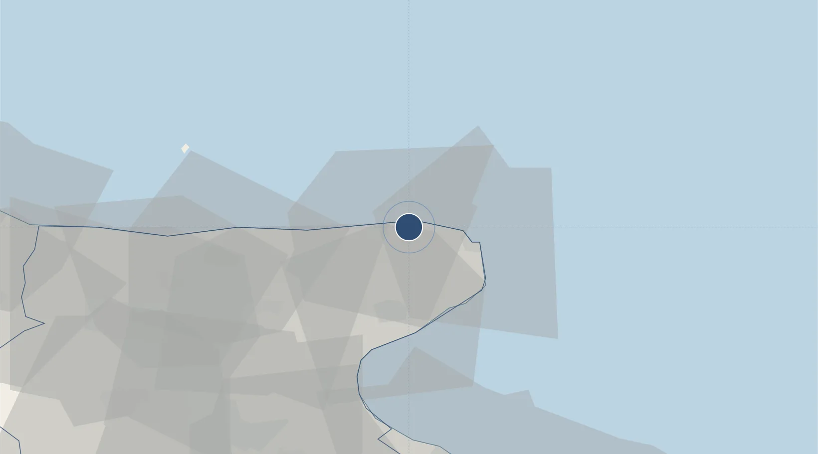
Location
Nearby Logistics Neighbours
Airports
Cities
- 1Foce Varano18 km
- 2Manfredonia34 km
- 3Isole Tremiti49 km
- 4Lesina55 km
- 5Margherita di Savoia64 km
Ports
- 1Manfredonia36 km
- 2Porto Di Barletta70 km
- 3Trani79 km
- 4Bisceglie86 km
- 5Molfetta93 km
Trade Zones
DatabookThe Record of Consolidated Knowledge
Italy beyond logistics?