Transport Functions
Port
Road
Hub Profile
Place type
Provincial seat
Region
Split-Dalmatia
Population
3,519
Time zone
Europe/Zagreb
Elevation
12 m
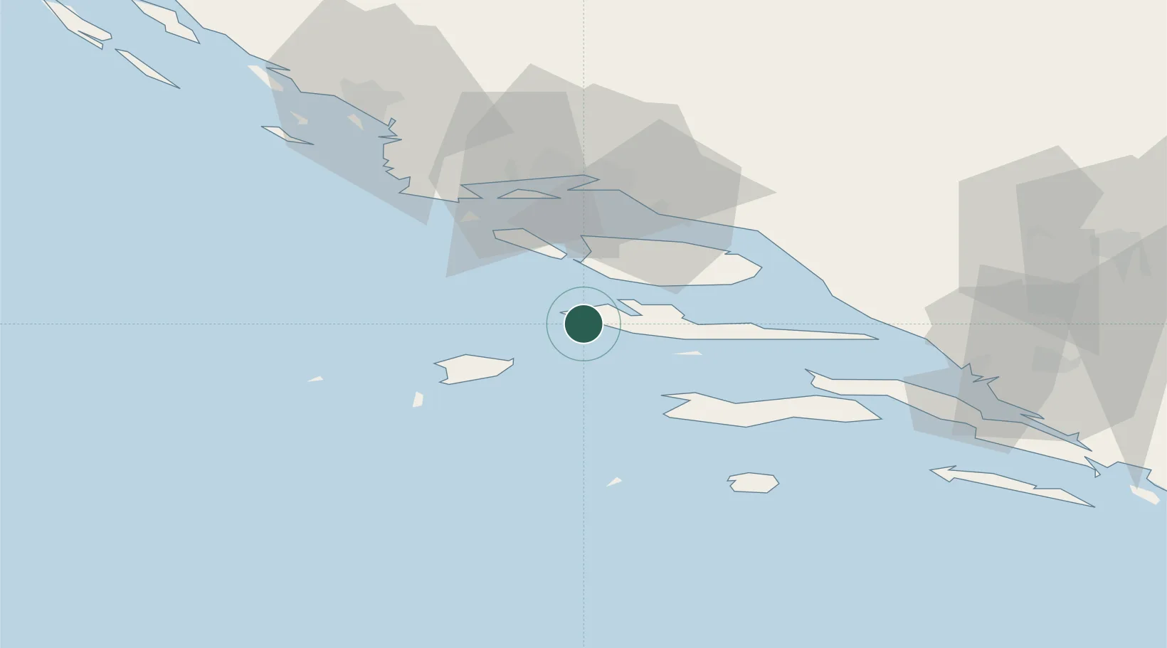
Location
Nearby Logistics Neighbours
Cities
- 1Stari Grad14 km
- 2Drvenik15 km
- 3Milna17 km
- 4Vrboska20 km
- 5Bol21 km
Airports
- 1Brač Airport24 km
- 2Split Saint Jerome Airport43 km
- 3Mostar International Airport115 km
- 4Zadar Airport135 km
- 5San Domino Island Heliport140 km
Trade Zones
- 1Port of Split Free Zone39 km
- 2Split-Dalmatia Free Zone39 km
- 3Port of Ploče Free Zone82 km
- 4Free Zone Hercegovina112 km
- 5Free Zone Visoko167 km
DatabookThe Record of Consolidated Knowledge
Croatia beyond logistics?