Transport Functions
Multimodal
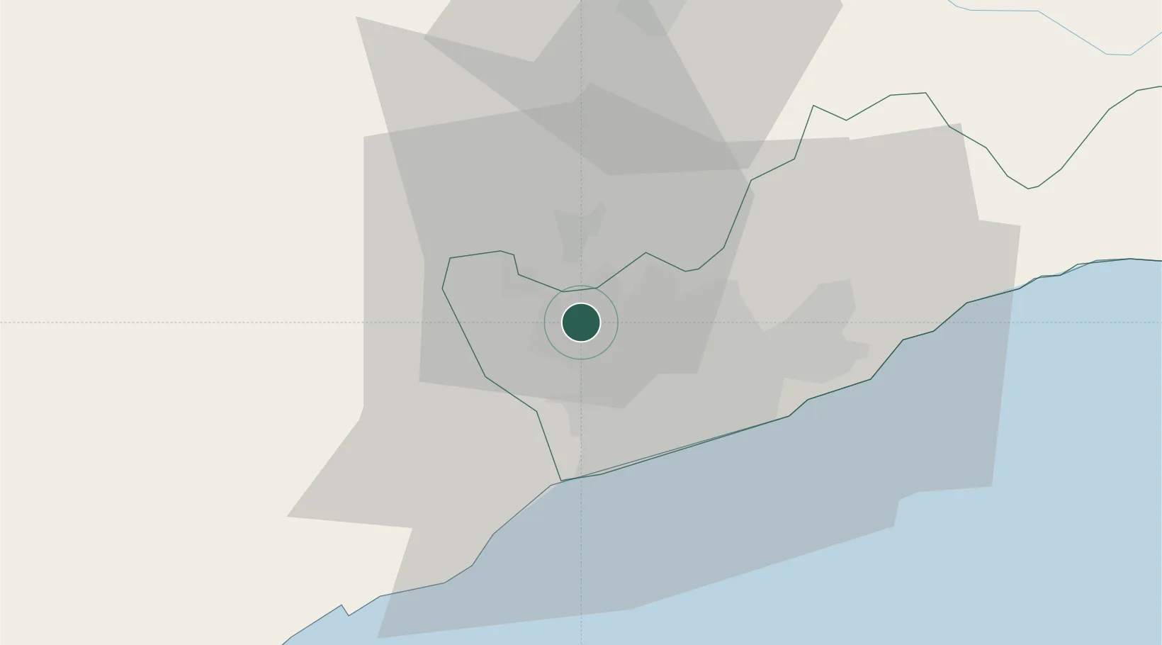
Hub Profile
Place type
Populated place
Region
Greater Accra
Population
190,972
Time zone
Africa/Accra
Elevation
23 m
Location
Nearby Logistics Neighbours
Cities
- 1Amasaman4 km
- 2Nsawam11 km
- 3Achimota14 km
- 4Tesano17 km
- 5Kokomlemle20 km
Airports
- 1Kotoka International Airport21 km
- 2Ho Airport137 km
- 3Prempeh I International Airport179 km
- 4Takoradi Airport183 km
- 5Lomé–Tokoin International Airport183 km
Trade Zones
- 1Tema Export Processing Zone38 km
- 2Cape Coast ICT Park48 km
- 3Dawa Industrial Zone73 km
- 4Ashanti Technology Park162 km
- 5Lomé-Togo Free Zone179 km
DatabookThe Record of Consolidated Knowledge
Ghana beyond logistics?