Transport Functions
Rail
Road
Hub Profile
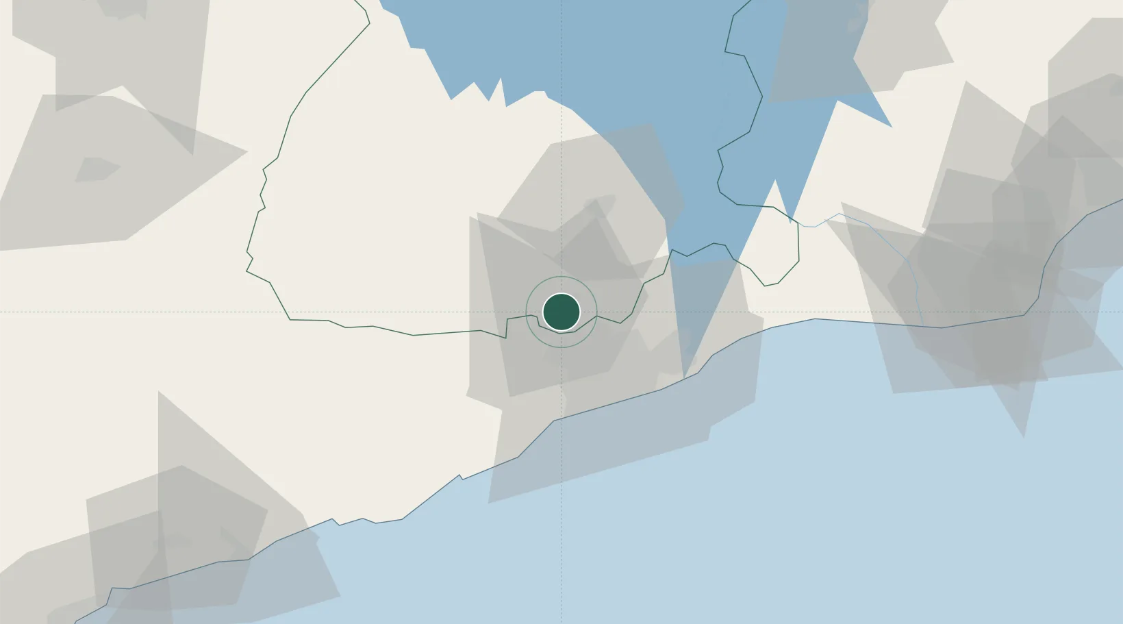
Place type
Populated place
Region
Eastern
Population
48,885
Time zone
Africa/Accra
Elevation
61 m
Location
Nearby Logistics Neighbours
Cities
- 1Ashaiman11 km
- 2Amasaman12 km
- 3Achimota24 km
- 4Tesano27 km
- 5Kokomlemle30 km
Airports
- 1Kotoka International Airport30 km
- 2Ho Airport131 km
- 3Prempeh I International Airport171 km
- 4Lomé–Tokoin International Airport182 km
- 5Takoradi Airport187 km
Trade Zones
- 1Tema Export Processing Zone42 km
- 2Cape Coast ICT Park50 km
- 3Dawa Industrial Zone72 km
- 4Ashanti Technology Park153 km
- 5Lomé-Togo Free Zone178 km
DatabookThe Record of Consolidated Knowledge
Ghana beyond logistics?