Large airport · Suriname
Johan Adolf Pengel International AirportSMJP
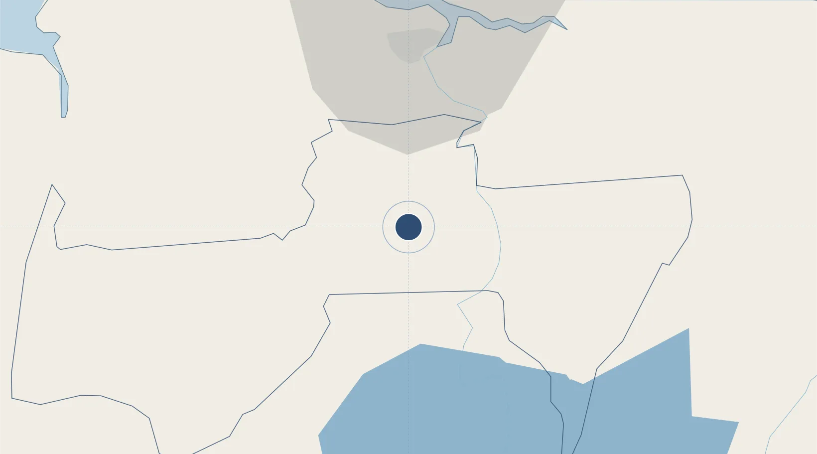
5.4528°, -55.1878°
11,417 ft
Longest runway
1
Runways
59 ft
Elevation
Runway & Layout

Radio Frequencies
TWR
118.5 MHz
PENGEL TWR
GND
121.9 MHz
GND - USE PENGEL TWR FREQ 118.5
APP
129.2 MHz
PENGEL APP (USE PENGEL TOWER: 118.5)
AREA CTRL
123.9 MHz
PARAMARIBO CTRL
AREA CTRL
133.3 MHz
PARAMARIBO CTRL (BACKUP FREQ.)
Navaids
ZY VOR-DME Zanderij 114.30 MHz
Runways · 1
| Runway | Dimensions | Surface | True heading | Lit |
|---|---|---|---|---|
| 11/29 | 11,417 × 148ft | ASPHALT | 090° | ✓ |
Airport Specifications
IATA code
PBM
ICAO code
SMJP
Airport class
Large airport
Scheduled service
Yes
Runway surface
ASPHALT
Served city
Paramaribo
Location
Nearby Logistics Neighbours
Airports
- 1Zorg en Hoop Airport40 km
- 2Eduard Alexander Gummels Airport45 km
- 3Afobakka Airstrip55 km
- 4Moengo Airstrip89 km
- 5Saint-Laurent-du-Maroni Airport128 km
Cities
- 1Lelydorp28 km
- 2Paramaribo40 km
- 3Kwatta41 km
- 4Saint-Laurent-du-Maroni128 km
- 5Awala-Yalimapo141 km
Ports
- 1Paranam21 km
- 2Paramaribo42 km
- 3Moengo88 km
- 4Nieuw Nickerie208 km
- 5New Amsterdam272 km
Trade Zones
- 1Coldingen Industrial Estate346 km
- 2Eccles Industrial Estate360 km
- 3Ruimveldt Industrial Estate362 km
- 4Lethem Industrial Estate561 km
- 5Free Port of Santa Elena de Uairén663 km
DatabookThe Record of Consolidated Knowledge
Suriname beyond logistics?