Transport Functions
Multimodal
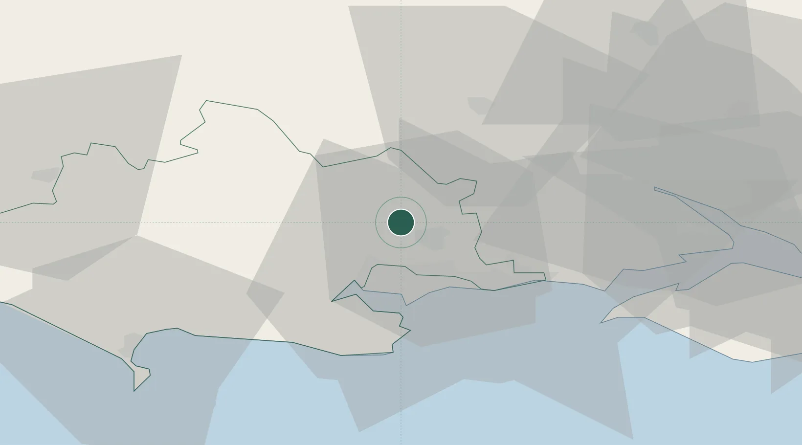
Hub Profile
Place type
Populated place
Region
England
Time zone
Europe/London
Elevation
40 m
Location
Nearby Logistics Neighbours
Cities
- 1Cranborne8 km
- 2Corfe Mullen9 km
- 3Bournemouth14 km
- 4Lytchett Minster15 km
- 5Morden15 km
Ports
- 1Poole Harbour19 km
- 2Yarmouth Harbour36 km
- 3Southampton39 km
- 4Fawley Marine Terminal44 km
- 5Weymouth Harbour44 km
Airports
- 1Bournemouth Airport11 km
- 2MoD Boscombe Down37 km
- 3Southampton Airport43 km
- 4RNAS Yeovilton51 km
- 5Lasham Airfield74 km
Trade Zones
DatabookThe Record of Consolidated Knowledge
United Kingdom beyond logistics?