Transport Functions
Port
Road
Multimodal
Hub Profile
Place type
Populated place
Region
England
Population
606
Time zone
Europe/London
Elevation
56 m
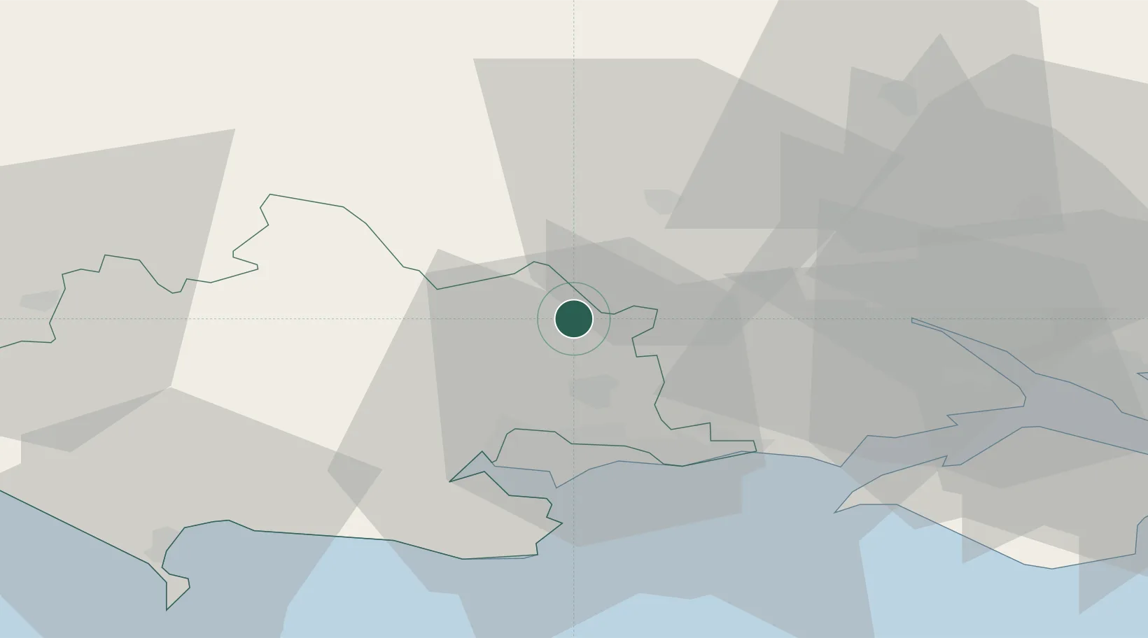
Location
Nearby Logistics Neighbours
Cities
- 1Horton8 km
- 2Corfe Mullen17 km
- 3Dinton19 km
- 4Tisbury20 km
- 5Bournemouth21 km
Ports
- 1Poole Harbour26 km
- 2Southampton36 km
- 3Yarmouth Harbour38 km
- 4Fawley Marine Terminal42 km
- 5Cowes Harbour46 km
Airports
- 1Bournemouth Airport16 km
- 2MoD Boscombe Down29 km
- 3Southampton Airport39 km
- 4RNAS Yeovilton52 km
- 5Lasham Airfield69 km
Trade Zones
DatabookThe Record of Consolidated Knowledge
United Kingdom beyond logistics?