Transport Functions
Port
Road
Hub Profile
Place type
Populated place
Region
England
Time zone
Europe/London
Elevation
50 m
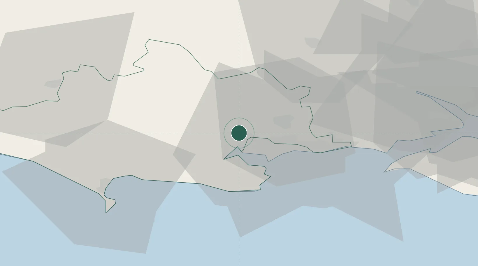
Location
Nearby Logistics Neighbours
Cities
- 1Lytchett Minster6 km
- 2Morden6 km
- 3Horton9 km
- 4Bournemouth12 km
- 5Wareham13 km
Ports
- 1Poole Harbour13 km
- 2Weymouth Harbour35 km
- 3Portland Harbour36 km
- 4Yarmouth Harbour39 km
- 5Southampton46 km
Airports
- 1Bournemouth Airport14 km
- 2MoD Boscombe Down46 km
- 3RNAS Yeovilton49 km
- 4Southampton Airport51 km
- 5Bristol Airport82 km
Trade Zones
DatabookThe Record of Consolidated Knowledge
United Kingdom beyond logistics?