Channel & Berth Profile
Pilotage, Tugs & Services
Pilotage compulsoryYES
Pilotage availableYES
Tug assistanceYES
Salvage tugsNO
Potable waterYES
Diesel bunkersYES
MedicalYES
Garbage disposalYES
Facilities & Capabilities
Container—
Ro-Ro—
Liquid bulk—
Dry bulk—
Oil terminal—
Break bulk—
Dry dock—
RepairsNO
BunkeringYES
Rail linkYES
Dangerous cargo—
ISPS security—
Harbour Specifications
Harbour size
Small
Harbour type
Coastal (Natural)
Shelter
Good
Water body
English Channel; North Atlantic Ocean
Tidal range
2 m
Overhead limit
Yes
Pilotage
Yes
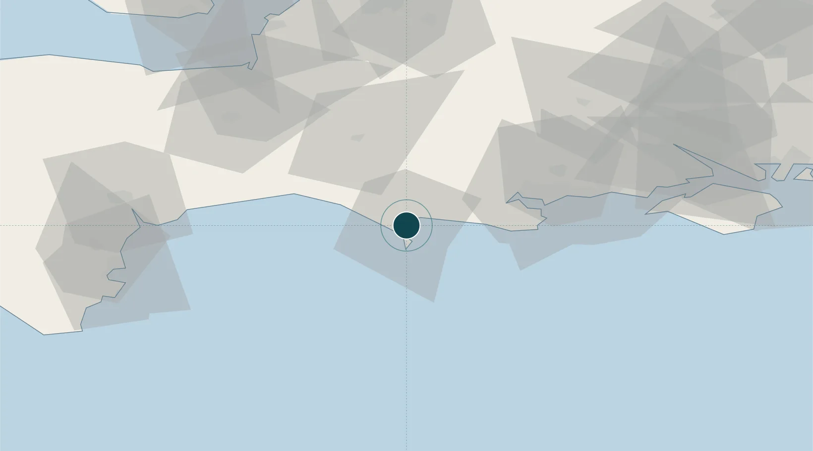
Location
Nearby Logistics Neighbours
Ports
- 1Portland Harbour4 km
- 2Bridport Harbour25 km
- 3Poole Harbour36 km
- 4Yarmouth Harbour68 km
- 5Bridgwater69 km
Cities
- 1Chickerell4 km
- 2Wyke Regis4 km
- 3Castletown6 km
- 4Ferrybridge6 km
- 5Whitcombe8 km
Airports
- 1RNAS Yeovilton46 km
- 2Bournemouth Airport47 km
- 3Exeter International Airport69 km
- 4MoD Boscombe Down77 km
- 5Southampton Airport85 km
Trade Zones
DatabookThe Record of Consolidated Knowledge
United Kingdom beyond logistics?