UN/LOCODE hub · United Kingdom
GBBOH
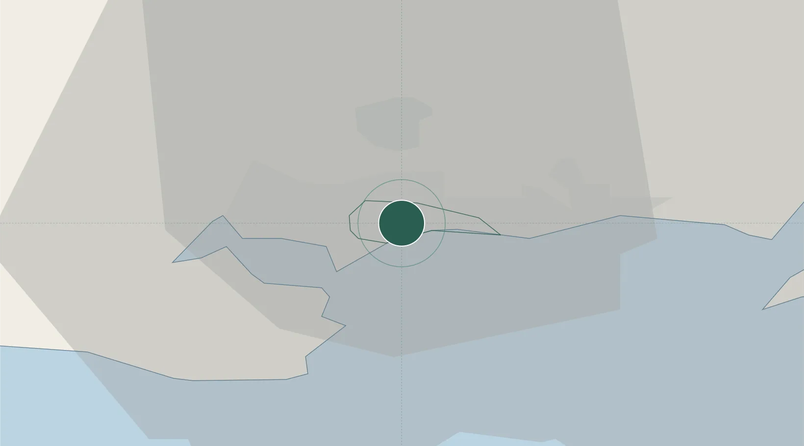
Bournemouth
50.7333°, -1.8833°
163,600
Population
4
Transport functions
Transport Functions
Port
Rail
Road
Airport
Hub Profile
Place type
Provincial seat
Region
England
Population
163,600
Time zone
Europe/London
Elevation
19 m
Location
Nearby Logistics Neighbours
Cities
- 1Christchurch9 km
- 2Studland12 km
- 3Lytchett Minster12 km
- 4Corfe Mullen12 km
- 5Horton14 km
Ports
- 1Poole Harbour7 km
- 2Yarmouth Harbour27 km
- 3Southampton39 km
- 4Fawley Marine Terminal40 km
- 5Cowes Harbour41 km
Airports
- 1Bournemouth Airport6 km
- 2Southampton Airport44 km
- 3MoD Boscombe Down48 km
- 4RNAS Yeovilton61 km
- 5Lasham Airfield78 km
Trade Zones
DatabookThe Record of Consolidated Knowledge
United Kingdom beyond logistics?