Transport Functions
Port
Hub Profile
Place type
Populated place
Region
England
Time zone
Europe/London
Elevation
4 m
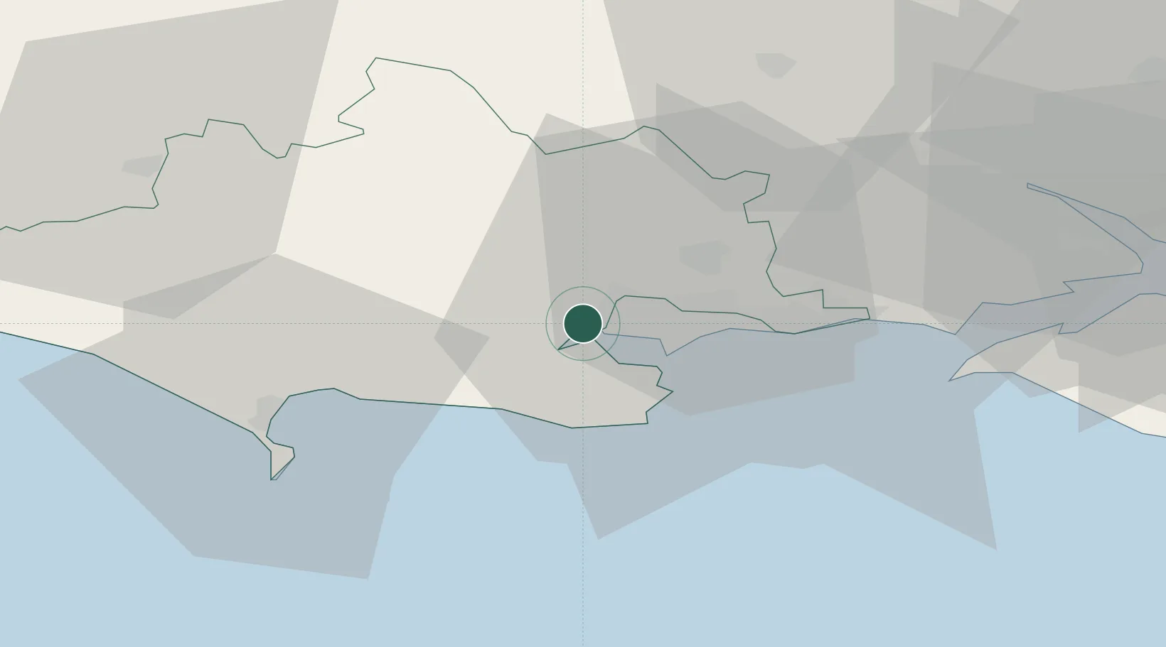
Location
Nearby Logistics Neighbours
Cities
- 1Corfe Mullen6 km
- 2Morden6 km
- 3Wareham7 km
- 4Furzebrook10 km
- 5Bournemouth12 km
Ports
- 1Poole Harbour9 km
- 2Weymouth Harbour31 km
- 3Portland Harbour32 km
- 4Yarmouth Harbour39 km
- 5Southampton49 km
Airports
- 1Bournemouth Airport16 km
- 2MoD Boscombe Down51 km
- 3RNAS Yeovilton52 km
- 4Southampton Airport54 km
- 5Bristol Airport86 km
Trade Zones
DatabookThe Record of Consolidated Knowledge
United Kingdom beyond logistics?