UN/LOCODE hub · United Kingdom
GBZCE

Morden

50.7667°, -2.1167°
1
Transport functions

Transport Functions

Multimodal
UN/LOCODE

Hub Profile

Place type
Populated place
GeoNames
Region
England
GeoNames
Time zone
Europe/London
GeoNames
Elevation
63 m
GeoNames

Location

Location of GBZCE
Natural Earth 10m (public domain) · England · GBZCE · 50.77, -2.12GoogleOSMYandex

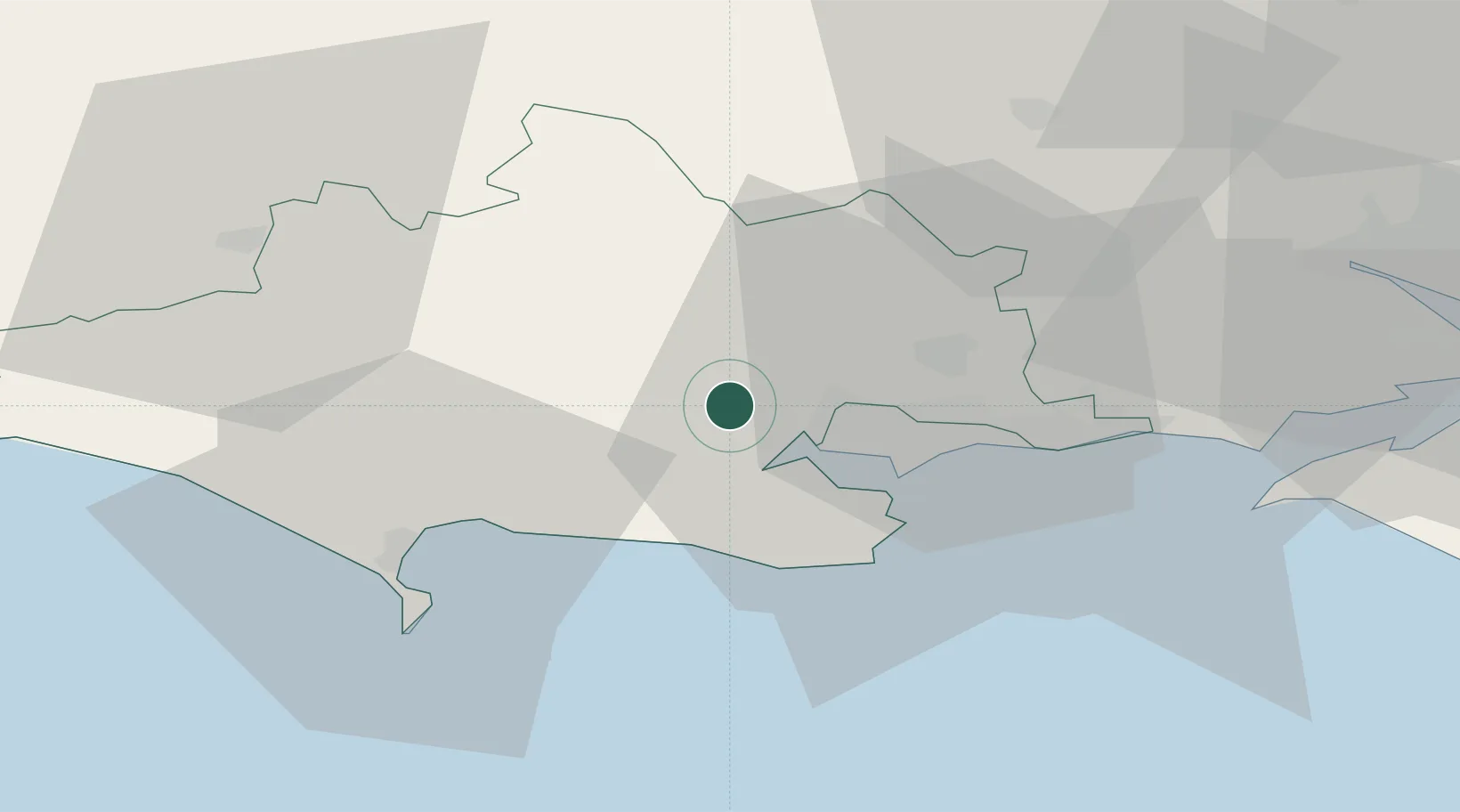
Nearby Logistics Neighbours

Cities
  1. 1Lytchett Minster6 km
  2. 2Corfe Mullen6 km
  3. 3Wareham9 km
  4. 4Lulworth Cove13 km
  5. 5Furzebrook13 km
Nearest neighbours — logibook spatial index (haversine) over the source coordinates
Ports
  1. 1Poole Harbour15 km
  2. 2Weymouth Harbour29 km
  3. 3Portland Harbour30 km
  4. 4Yarmouth Harbour44 km
  5. 5Bridport Harbour46 km
Nearest neighbours — logibook spatial index (haversine) over the source coordinates
Airports
  1. 1Bournemouth Airport20 km
  2. 2RNAS Yeovilton46 km
  3. 3MoD Boscombe Down50 km
  4. 4Southampton Airport57 km
  5. 5Bristol Airport80 km
Nearest neighbours — logibook spatial index (haversine) over the source coordinates
Trade Zones
  1. 1Dorset Innovation Park14 km
  2. 2Southampton Free Zone50 km
  3. 3EZ³ Enterprise Zone68 km
  4. 4Solent Enterprise Zone73 km
  5. 5Bristol Temple Quarter Enterprise Zone82 km
Nearest neighbours — logibook spatial index (haversine) over the source coordinates
DatabookThe Record of Consolidated Knowledge
United Kingdom beyond logistics?
Browse databook

All Sources

LocationsUN/LOCODE
UN/LOCODE — free
Portsthe NGA World Port Index
Public domain (US gov)
AirportsOurAirports
Public domain
Trade Zonesthe World Bank SEZ database
CC BY 4.0
Trade ZonesOpen Zone Map
CC BY
← United Kingdom locations