UN/LOCODE hub · United Kingdom
GBCNZ
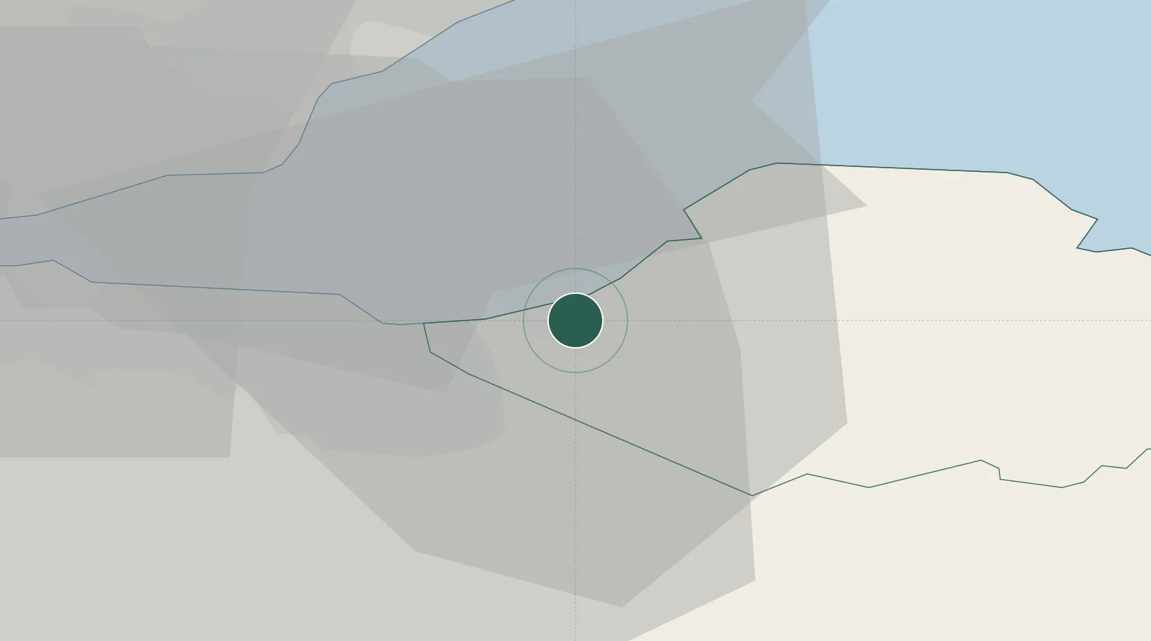
Cockenzie
55.9500°, -2.9500°
5,660
Population
1
Transport functions
Transport Functions
Port
Hub Profile
Place type
Populated place
Region
Scotland
Population
5,660
Time zone
Europe/London
Elevation
7 m
Location
Nearby Logistics Neighbours
Cities
- 1Port Seton2 km
- 2Macmerry4 km
- 3Fisherrow/Musselburgh8 km
- 4Danderhall10 km
- 5Gullane12 km
Ports
- 1Leith15 km
- 2Granton17 km
- 3Burntisland21 km
- 4Braefoot Bay Terminal25 km
- 5Methil26 km
Airports
- 1Edinburgh Airport26 km
- 2Leuchars Station Airfield47 km
- 3Dundee Airport56 km
- 4Glasgow Airport93 km
- 5RAF Spadeadam103 km
Trade Zones
DatabookThe Record of Consolidated Knowledge
United Kingdom beyond logistics?