Transport Functions
Port
Rail
Road
Hub Profile
Place type
Populated place
Region
Scotland
Population
949
Time zone
Europe/London
Elevation
15 m
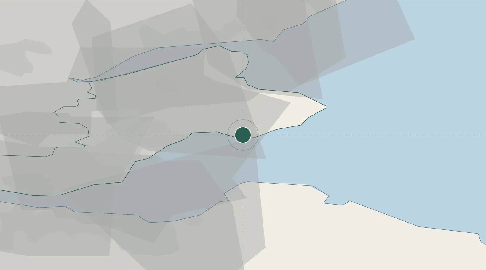
Location
Nearby Logistics Neighbours
Cities
- 1Saint Monance (Saint Monans)4 km
- 2Pittenweem6 km
- 3Anstruther7 km
- 4Largo9 km
- 5Cellardyke11 km
Ports
- 1Methil12 km
- 2Dunbar29 km
- 3Burntisland31 km
- 4Dundee31 km
- 5Leith33 km
Airports
- 1Leuchars Station Airfield20 km
- 2Dundee Airport31 km
- 3Edinburgh Airport44 km
- 4Glasgow Airport107 km
- 5Aberdeen International Airport118 km
Trade Zones
DatabookThe Record of Consolidated Knowledge
United Kingdom beyond logistics?