UN/LOCODE hub · United Kingdom
GBPSE

Port Seton

55.9667°, -2.9500°
2
Transport functions

Transport Functions

Port
Road
UN/LOCODE

Hub Profile

Region
ELN
GeoNames

Location

Location of GBPSE
Natural Earth 10m (public domain) · ELN · GBPSE · 55.97, -2.95GoogleOSMYandex

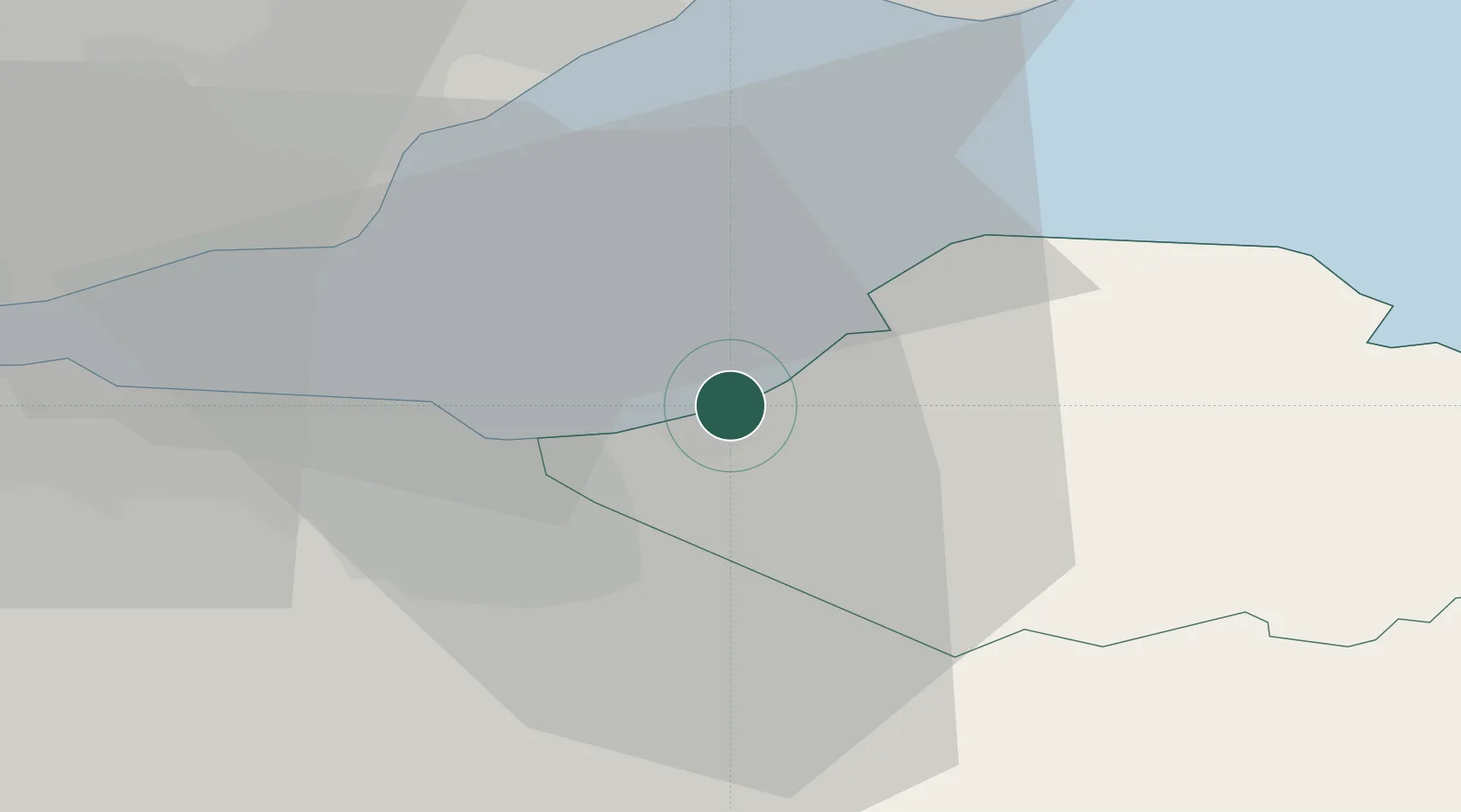
Nearby Logistics Neighbours

Cities
  1. 1Cockenzie2 km
  2. 2Macmerry5 km
  3. 3Fisherrow/Musselburgh8 km
  4. 4Danderhall11 km
  5. 5Gullane11 km
Nearest neighbours — logibook spatial index (haversine) over the source coordinates
Ports
  1. 1Leith15 km
  2. 2Granton17 km
  3. 3Burntisland20 km
  4. 4Braefoot Bay Terminal24 km
  5. 5Methil24 km
Nearest neighbours — logibook spatial index (haversine) over the source coordinates
Airports
  1. 1Edinburgh Airport26 km
  2. 2Leuchars Station Airfield46 km
  3. 3Dundee Airport54 km
  4. 4Glasgow Airport93 km
  5. 5RAF Spadeadam105 km
Nearest neighbours — logibook spatial index (haversine) over the source coordinates
Trade Zones
  1. 1Carlisle Kingmoor Park Enterprise Zone115 km
  2. 2Prestwick Airport Free Zone116 km
  3. 3North Eastern Enterprise Zone139 km
  4. 4Tees Valley Enterprise Zone189 km
  5. 5Isle of Man Free Zone and Business Park234 km
Nearest neighbours — logibook spatial index (haversine) over the source coordinates
DatabookThe Record of Consolidated Knowledge
United Kingdom beyond logistics?
Browse databook

All Sources

LocationsUN/LOCODE
UN/LOCODE — free
Portsthe NGA World Port Index
Public domain (US gov)
AirportsOurAirports
Public domain
Trade Zonesthe World Bank SEZ database
CC BY 4.0
Trade ZonesOpen Zone Map
CC BY
← United Kingdom locations