Transport Functions
Multimodal
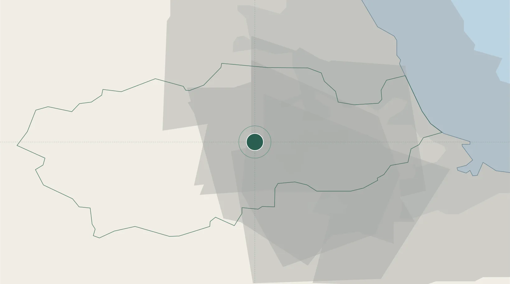
Hub Profile
Place type
Populated place
Region
England
Population
9,498
Time zone
Europe/London
Elevation
152 m
Location
Nearby Logistics Neighbours
Cities
- 1West Auckland7 km
- 2Brandon9 km
- 3Chilton13 km
- 4Chester-le-Street20 km
- 5Thornley20 km
Ports
- 1Seaham31 km
- 2Sunderland34 km
- 3Hartlepool35 km
- 4Teesport39 km
- 5Tynemouth40 km
Airports
- 1Teesside International Airport29 km
- 2Newcastle International Airport38 km
- 3RAF Leeming47 km
- 4RAF Topcliffe60 km
- 5RAF Spadeadam65 km
Trade Zones
DatabookThe Record of Consolidated Knowledge
United Kingdom beyond logistics?