UN/LOCODE hub · United Kingdom
GBNLE
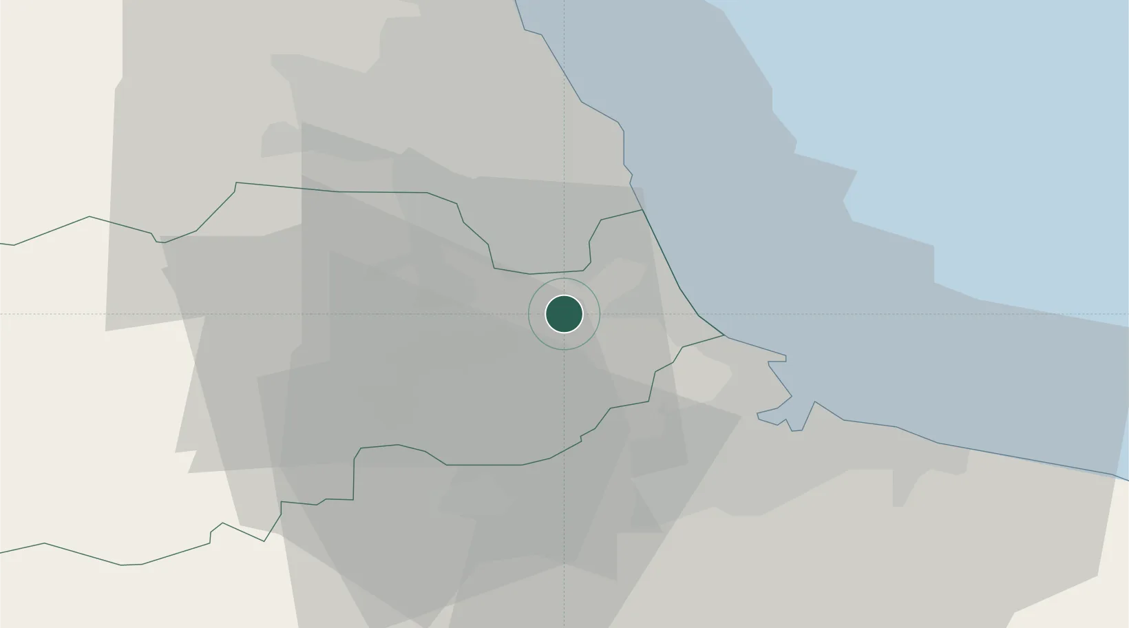
Thornley
54.7500°, -1.4333°
2,457
Population
2
Transport functions
Transport Functions
Port
Multimodal
Hub Profile
Place type
District seat
Region
England
Population
2,457
Time zone
Europe/London
Elevation
146 m
Location
Nearby Logistics Neighbours
Cities
- 1Easington7 km
- 2Brandon12 km
- 3Chilton13 km
- 4Chester-le-Street14 km
- 5Hartlepool16 km
Ports
- 1Seaham12 km
- 2Hartlepool17 km
- 3Sunderland19 km
- 4Teesport22 km
- 5Tynemouth28 km
Airports
- 1Teesside International Airport27 km
- 2Newcastle International Airport36 km
- 3RAF Leeming51 km
- 4RAF Topcliffe61 km
- 5RAF Spadeadam79 km
Trade Zones
DatabookThe Record of Consolidated Knowledge
United Kingdom beyond logistics?