Transport Functions
Multimodal
Hub Profile
Place type
Populated place
Region
Wales
Time zone
Europe/London
Elevation
161 m
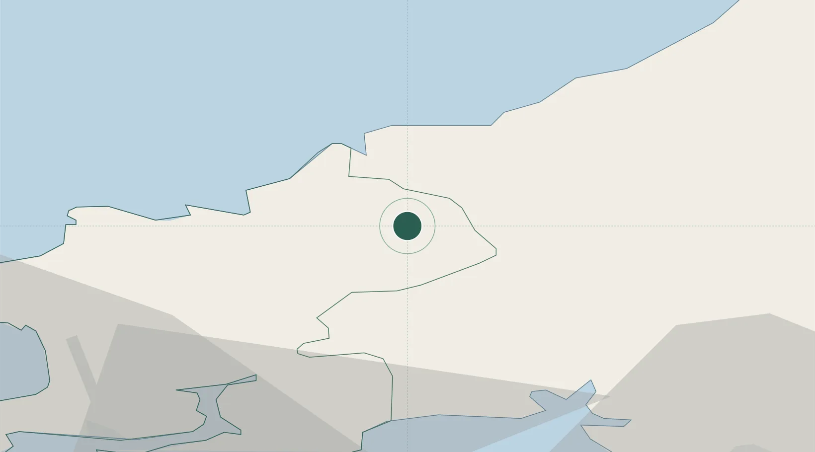
Location
Nearby Logistics Neighbours
Cities
- 1Llanfyrnach6 km
- 2Cardigan (Aberteifi)10 km
- 3Newcastle Emlyn11 km
- 4Clynderwen19 km
- 5Bethesda23 km
Ports
- 1Fishguard25 km
- 2Milford Haven43 km
- 3Swansea63 km
- 4Neath68 km
- 5Port Talbot72 km
Airports
- 1Haverfordwest Airport30 km
- 2Swansea Airport58 km
- 3Lundy Island Helipad93 km
- 4MOD St Athan105 km
- 5Royal Marines Base Chivenor107 km
Trade Zones
DatabookThe Record of Consolidated Knowledge
United Kingdom beyond logistics?