Transport Functions
Rail
Road
Hub Profile
Place type
Populated place
Region
Wales
Time zone
Europe/London
Elevation
122 m
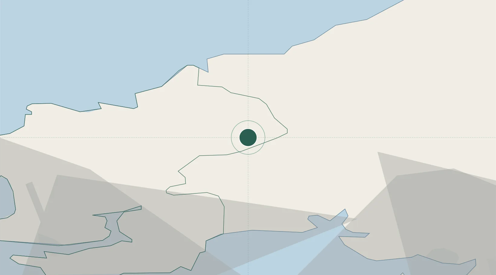
Location
Nearby Logistics Neighbours
Cities
- 1Boncath6 km
- 2Newcastle Emlyn12 km
- 3Clynderwen15 km
- 4Cardigan (Aberteifi)16 km
- 5Bethesda19 km
Ports
- 1Fishguard28 km
- 2Milford Haven40 km
- 3Swansea57 km
- 4Neath63 km
- 5Port Talbot67 km
Airports
- 1Haverfordwest Airport29 km
- 2Swansea Airport52 km
- 3Lundy Island Helipad88 km
- 4MOD St Athan100 km
- 5Royal Marines Base Chivenor101 km
Trade Zones
DatabookThe Record of Consolidated Knowledge
United Kingdom beyond logistics?