UN/LOCODE hub · United Kingdom
GBCYD

Clynderwen

51.8333°, -4.7000°
1
Transport functions

Transport Functions

Port
UN/LOCODE

Hub Profile

Region
PEM
GeoNames

Location

Location of GBCYD
Natural Earth 10m (public domain) · PEM · GBCYD · 51.83, -4.70GoogleOSMYandex

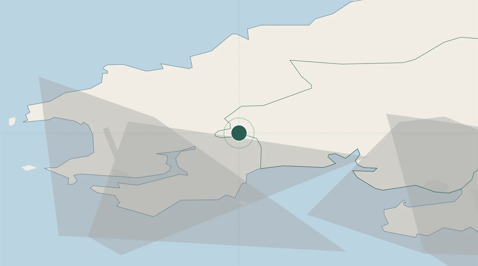
Nearby Logistics Neighbours

Cities
  1. 1Bethesda5 km
  2. 2Kilgetty11 km
  3. 3Broadmoor13 km
  4. 4Saundersfoot15 km
  5. 5Llanfyrnach15 km
Nearest neighbours — logibook spatial index (haversine) over the source coordinates
Ports
  1. 1Milford Haven26 km
  2. 2Fishguard28 km
  3. 3Swansea57 km
  4. 4Neath64 km
  5. 5Port Talbot67 km
Nearest neighbours — logibook spatial index (haversine) over the source coordinates
Airports
  1. 1Haverfordwest Airport18 km
  2. 2Swansea Airport50 km
  3. 3Lundy Island Helipad74 km
  4. 4Royal Marines Base Chivenor91 km
  5. 5Hartland Point Heliport92 km
Nearest neighbours — logibook spatial index (haversine) over the source coordinates
Trade Zones
  1. 1Hereford Enterprise Zone140 km
  2. 2Ceramics Valley141 km
  3. 3Exeter & East Devon Enterprise Zone150 km
  4. 4Bristol Temple Quarter Enterprise Zone153 km
  5. 5Cornwall Newquay Aerohub Enterprise Zone157 km
Nearest neighbours — logibook spatial index (haversine) over the source coordinates
DatabookThe Record of Consolidated Knowledge
United Kingdom beyond logistics?
Browse databook

All Sources

LocationsUN/LOCODE
UN/LOCODE — free
Portsthe NGA World Port Index
Public domain (US gov)
AirportsOurAirports
Public domain
Trade Zonesthe World Bank SEZ database
CC BY 4.0
Trade ZonesOpen Zone Map
CC BY
← United Kingdom locations