UN/LOCODE hub · United Kingdom
GBXFH
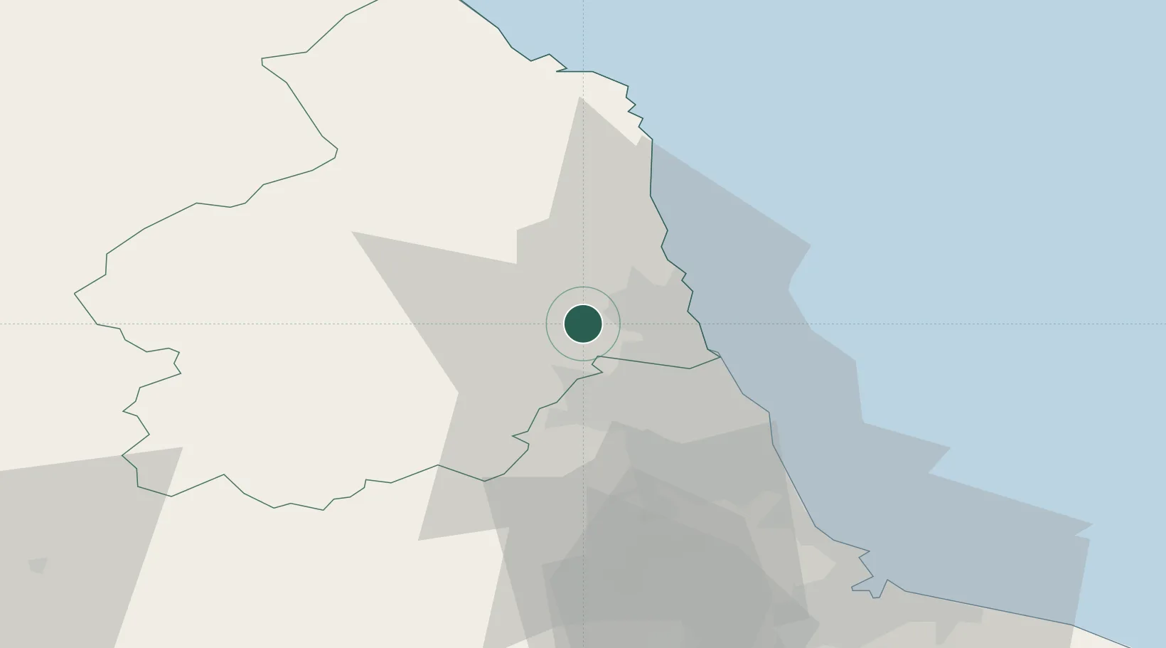
Fishburn
55.1333°, -1.7167°
2,588
Population
1
Transport functions
Transport Functions
Multimodal
Hub Profile
Place type
District seat
Region
England
Population
2,588
Time zone
Europe/London
Elevation
118 m
Location
Nearby Logistics Neighbours
Cities
- 1Cambois13 km
- 2Newbiggin by the Sea13 km
- 3Lynemouth15 km
- 4Ryton19 km
- 5Walker20 km
Ports
- 1Blyth14 km
- 2Warkworth Harbour24 km
- 3Tynemouth25 km
- 4Sunderland33 km
- 5Seaham42 km
Airports
- 1Newcastle International Airport11 km
- 2RAF Spadeadam54 km
- 3Teesside International Airport72 km
- 4Carlisle Lake District Airport73 km
- 5RAF Leeming94 km
Trade Zones
DatabookThe Record of Consolidated Knowledge
United Kingdom beyond logistics?