Transport Functions
Rail
Road
Hub Profile
Place type
Populated place
Region
England
Time zone
Europe/London
Elevation
69 m
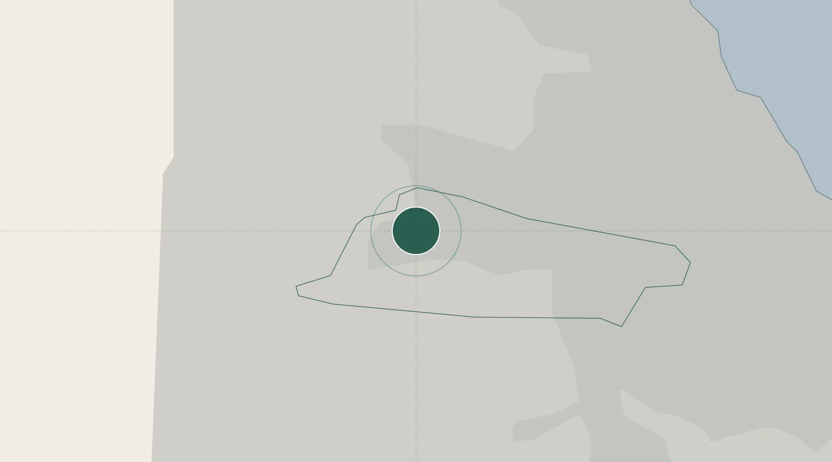
Location
Nearby Logistics Neighbours
Cities
- 1Dunston7 km
- 2Newcastle upon Tyne8 km
- 3Team Valley/Gateshead9 km
- 4Gateshead9 km
- 5Walker13 km
Ports
- 1Tynemouth23 km
- 2Blyth23 km
- 3Sunderland25 km
- 4Seaham31 km
- 5Warkworth Harbour42 km
Airports
- 1Newcastle International Airport9 km
- 2RAF Spadeadam52 km
- 3Teesside International Airport55 km
- 4Carlisle Lake District Airport68 km
- 5RAF Leeming76 km
Trade Zones
DatabookThe Record of Consolidated Knowledge
United Kingdom beyond logistics?