UN/LOCODE hub · United Kingdom
GBSAU
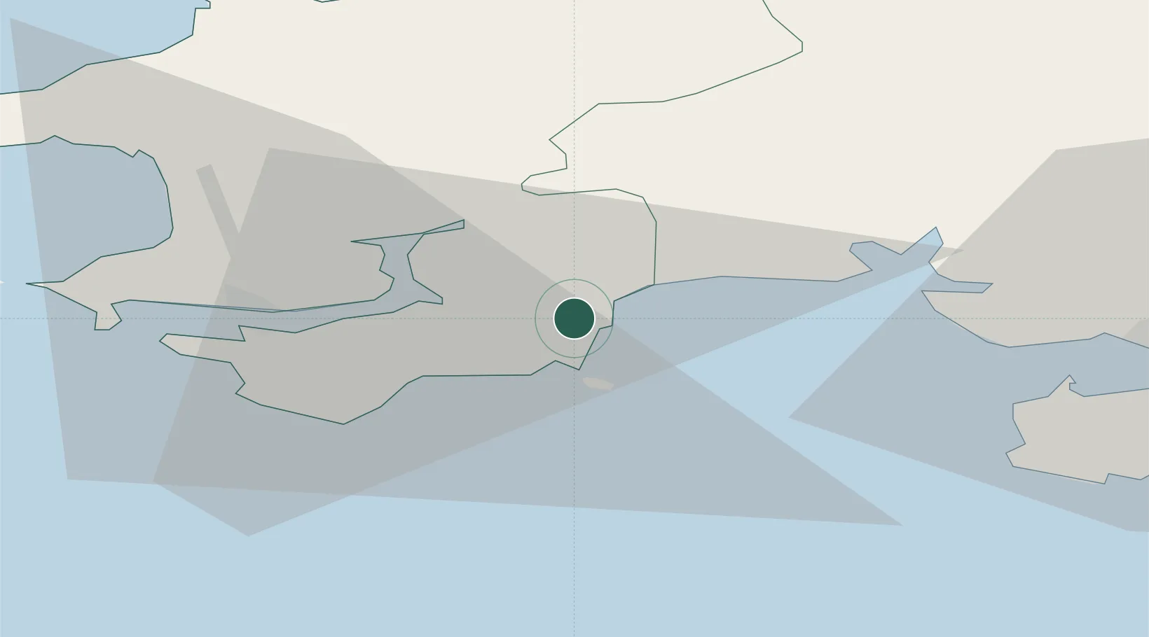
Saundersfoot
51.7000°, -4.7167°
3,361
Population
3
Transport functions
Transport Functions
Port
Rail
Road
Hub Profile
Place type
District seat
Region
Wales
Population
3,361
Time zone
Europe/London
Elevation
19 m
Location
Nearby Logistics Neighbours
Cities
- 1Broadmoor3 km
- 2Tenby (Dinbych-y-pysgod)4 km
- 3Kilgetty4 km
- 4Freshwater East12 km
- 5Pembroke13 km
Ports
- 1Milford Haven22 km
- 2Fishguard40 km
- 3Swansea54 km
- 4Neath61 km
- 5Port Talbot63 km
Airports
- 1Haverfordwest Airport22 km
- 2Swansea Airport46 km
- 3Lundy Island Helipad60 km
- 4Hartland Point Heliport77 km
- 5Royal Marines Base Chivenor79 km
Trade Zones
DatabookThe Record of Consolidated Knowledge
United Kingdom beyond logistics?