UN/LOCODE hub · United Kingdom
GBDGT
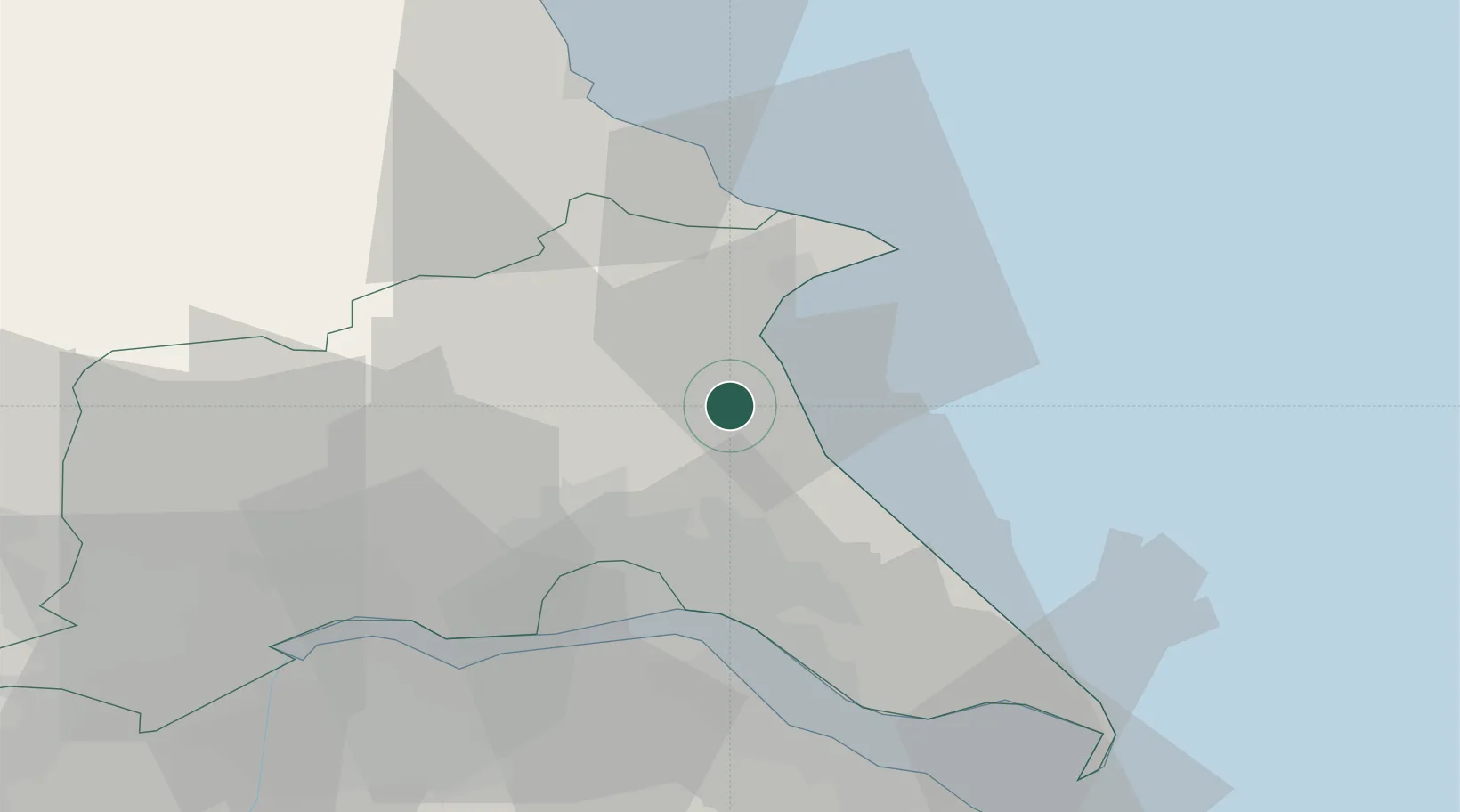
Dunnington
53.9500°, -0.2500°
2,987
Population
2
Transport functions
Transport Functions
Road
Multimodal
Hub Profile
Place type
Populated place
Region
England
Population
2,987
Time zone
Europe/London
Elevation
17 m
Location
Nearby Logistics Neighbours
Cities
- 1Goxhill8 km
- 2Leven9 km
- 3Bridlington15 km
- 4Flamborough21 km
- 5Hull22 km
Ports
- 1Bridlington16 km
- 2Kingston Upon Hull22 km
- 3New Holland29 km
- 4Immingham35 km
- 5Scarborough38 km
Airports
- 1Humberside Airport42 km
- 2Leeds East Airport63 km
- 3RAF Topcliffe79 km
- 4RAF Waddington89 km
- 5RAF Leeming92 km
Trade Zones
DatabookThe Record of Consolidated Knowledge
United Kingdom beyond logistics?